

Indonesia's National Scientific Repository lets researchers search, deposit, preserve, cite, and share research data.
Dataset
ArkeoGIS provides tools to map, preserve, study, and share archaeological data.
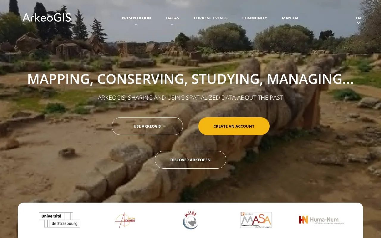
ArkeoGIS is a web platform for publishing, mapping and sharing unified scientific data about the past. Users import archaeological data through a guided process with online correction assistance and DublinCore metadata, then query multidisciplinary spatialized datasets by place, time and contributor on an interactive map. Search results can be exported as CSV for reuse in spreadsheets, QGIS or R.
The homepage reports 171 datasets, 47 common map funds, 132,945 sites, 1,883 thesaurus terms, 18 chronologies and 407 multidisciplinary institutions. Data is described as pooled in four languages, while the site itself is listed as French. Long-term conservation is supported through perpetual DOI identifiers, ARK identifiers for terms and duplicated hosting. Pricing is not stated, and no account-free workflow is described.
Other listings in Open Data & Datasets with the most in common.
Indonesia's National Scientific Repository lets researchers search, deposit, preserve, cite, and share research data.
Dryad helps researchers publish, preserve, and search research data, with datasets supported by institutional, publisher, and society partnerships.
ArchaeoVault is the Czech archaeological repository for analytical data and research materials.
The SPARC Portal shares neuroscience and systems physiology data, models, and spatial resources to study connections between the body and brain.
tDAR archives archaeological information and supports searching, browsing, contributing, and preserving research materials.
Fairdata Services offers tools to store, find, access, describe, and share research data, including the IDA storage service and Etsin dataset finder.
Well-known listings from the same topic.
Tell us and an editor will check it.
Claim the listing and suggest updates yourself. An editor checks every claim first.


