

YellowSculpt generates clean-topology 3D character meshes from prompts, rigged and ready for animation.
CAD Mapper
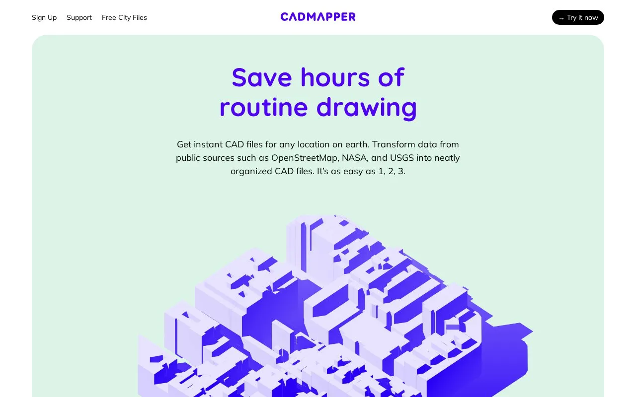
CADMAPPER turns public map data from sources such as OpenStreetMap, NASA, and USGS into CAD files for a selected location.
About CAD Mapper
CAD Mapper generates CAD files for a selected location using public map data from sources such as OpenStreetMap, NASA, and USGS. Users define an area with the online tool, edit the layered drawing in CAD software, and render it in their design program. The homepage lists AutoCAD, SketchUp 8+, Rhinoceros 5+, and Adobe Illustrator as compatible programs.
Free use is limited by area size. Files for areas up to 1 km² are free and include all available data, but require sign-up to download. Areas up to 100 km² are available for a small fee, with a discount for registration using an academic email address. Free whole-city road network files for over 200 metro areas can be downloaded without an account. These are simplified two-dimensional DXF files. Building height and topography data are available in many locations, not all.
Key features
- Generates CAD files for a selected area from public map data
- Free downloadable whole-city road network files in DXF format
- Layered drawing files for editing in CAD software
- Building height and topography data in many locations
- Free files up to 1 km² and paid files up to 100 km²
- Compatible with AutoCAD, SketchUp, Rhinoceros, and Adobe Illustrator
Best for: Designers, architects, and illustrators who need base map files for CAD or illustration software.
Good for
- Free whole-city road network files can be downloaded without an account
- Creating a file does not require a subscription
- Works with several named design programs
Watch out for
- Free custom files are limited to areas up to 1 km²
- Whole-city files are simplified two-dimensional road network files
- Building height and topography data are not available in every location
CAD Mapper at a glance
- Website
- cadmapper.com
- Category
- Design & Creative › 3D, CAD & Motion
- Type
- Online tool
- Pricing
- Not confirmed. Check the site
- Platforms
- Web
- Open source
- Not stated
- Good for
- Designers
- Last checked
- Oct 6, 2026 · Online when checked
- Listed
- Oct 5, 2026
CAD Mapper alternatives
Tools and sites you could use instead, ranked by how closely they match.

Assemblr provides AR, VR, and immersive experience tools through products for creators, educators, and businesses.

Upload a photo of any room, kitchen, exterior, or garden and get a photorealistic AI redesign in seconds. No design experience needed.

ThreeDee generates 3D models from text descriptions or images using an AI model.

Image to 3D uses AI to generate 3D models from images, including character illustrations and drawings, according to its site.

Pinshape lets creators share STL files for 3D printing through a marketplace with trending designs and downloadable models.
Popular in 3D, CAD & Motion
Well-known listings from the same topic.
NASA 3D Resourcesscience.nasa.gov/3d-resourcesDesignConnecteddesignconnected.comAwesome Blenderawesome-blender.netlify.appWavelrywavelry.vercel.appJerrari Designjerrari3d.comWings 3Dwings3d.com


CAD Mapper FAQ
Do I need a subscription to create a file?
The homepage states that files can be created without a subscription.
Do I need an account to download the free whole-city files?
No. The homepage states that the free whole-city files are available without an account.
Is there a discount for academic users?
Yes. Registering with an academic email address applies a discount to the paid files for areas up to 100 km².
Is something wrong or out of date?
Tell us and an editor will check it.
Own this website?
Claim this listing
Claim the listing and suggest updates yourself. An editor checks every claim first.