
Search digitized materials in the University of Washington's Sephardic Studies Digital Collection.
Canadiana
Canadiana lets visitors search digitized Canadian heritage collections and historical materials.
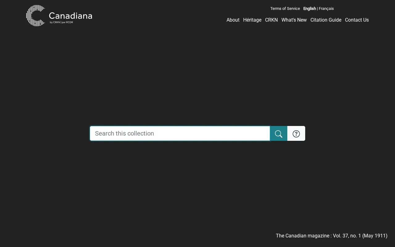
About Canadiana
Canadiana provides access to digitized Canadian heritage collections, including monographs, serials such as newspapers and journals, pre-1920 government documents, and topographic maps.
The collections contain historical language that reflects past biases, including harmful and offensive wording, and sensitive explicit materials. Original titles are left unchanged in the metadata.
Key features
- Browse monographs covering three and a half centuries of history
- Browse serials including newspapers, journals, magazines, directories, annual reports
- Access over 1.7 million pages of pre-1920 government documents
- Browse nearly 22,000 topographic maps from 1905 to 2012
- Browse maps by province or territory
- Submit review form for metadata or content concerns
Best for: Researchers and general readers looking for primary Canadian historical documents, newspapers, government records, and maps.
Good for
- Covers monographs, serials, government publications, and maps in one site
- Government Publications collection includes over 1.7 million pages of pre-1920 documents
- Maps collection covers all Canadian provinces and territories from 1905 to 2012
Watch out for
- Contains harmful and offensive wording and sensitive explicit materials
- Original titles are unchanged and reflect historical biases
- Collections present an incomplete and sometimes distorted historical record
Canadiana at a glance
- Website
- canadiana.ca
- Type
- Website
- Pricing
- Not confirmed. Check the site
- Platforms
- Web
- Open source
- Not stated
- Language
- English
- Last checked
- Oct 5, 2026 · Online when checked
- Listed
- Oct 5, 2026
Canadiana alternatives
Tools and sites you could use instead, ranked by how closely they match.

Western Michigan University Digital Collections lets visitors search materials from the university libraries.
Browse scholarship, teaching resources, and historical material on Victorian literature, society, politics, and culture.
The Canada Black Music Archive documents Black music heritage through materials and stories about its artists and history.
Search digitized Czech mathematical books, journals, and other publications in the Czech Digital Mathematics Library.

The Leo Baeck Institute catalog lets visitors search its library and archival collections.
Popular in Humanities & Social Science Search
Well-known listings from the same topic.
Digital Bodleiandigital.bodleian.ox.ac.ukRISE UP!riseupfeministarchive.caOxford Referenceoxfordreference.comLotsawa Houselotsawahouse.orgMir@belreseau-mirabel.infoAustLitaustlit.edu.au


Canadiana FAQ
What does the Maps collection cover?
Nearly 22,000 maps digitized from the 1:50,000 scale National Topographic Series, dating from 1905 to 2012 and covering all Canadian provinces and territories.
What should I expect about sensitive content in Canadiana?
Content and metadata include harmful and offensive wording and sensitive explicit materials reflecting the biases of the time, and original titles are unchanged.
How can I report metadata or content for review?
Fill out the Review Submission Form noted in the statement on sensitive content and metadata.
Is something wrong or out of date?
Tell us and an editor will check it.
Own this website?
Claim this listing
Claim the listing and suggest updates yourself. An editor checks every claim first.