geosocial footprint
GeoSocial Footprint explains how location information shared across social media can combine into a user's geosocial footprint.
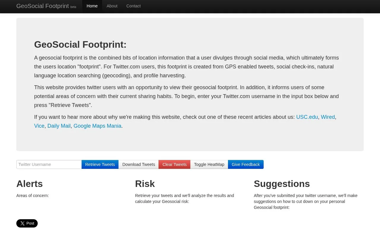
About geosocial footprint
GeoSocial Footprint is an educational demonstration that shows how public Twitter data can reveal location information. Users enter a Twitter.com username and select "Retrieve Tweets" to view mapped locations derived from GPS-enabled tweets, check-ins, geocoded text, and profile information.
The site analyzes retrieved tweets to identify areas of concern, calculate geosocial risk, and suggest ways to reduce location sharing. It works with public Twitter data and shows an error for private feeds and misspelled usernames.
Key features
- Retrieve tweets by entering a Twitter username
- Combine GPS tweets, check-ins, geocoding, and profile data
- Toggle heatmap view of tweet locations
- Download retrieved tweets
- Calculate geosocial risk from retrieved tweets
- Suggest ways to reduce personal geosocial footprint
- Visualizes location footprint from multiple types of tweet data
- Identifies areas of concern and calculates geosocial risk
- Provides suggestions for reducing location sharing
- Requires public Twitter data; private feeds return an error
- Only accepts Twitter.com usernames, not other social platforms
geosocial footprint at a glance
- Website
- geosocialfootprint.com
- Category
- Social & Communities › X (Twitter) Tools
- Type
- Website
- Pricing
- Not confirmed. Check the site
- Platforms
- Web
- Open source
- Not stated
- Language
- English
- Last checked
- Oct 5, 2026 · Online when checked
- Listed
- Oct 5, 2026
Popular in X (Twitter) Tools
Well-known listings from the same topic.


geosocial footprint FAQ
How do I check my footprint?
What information is used to build the footprint?
What feedback does the site give after analysis?
Tell us and an editor will check it.
Claim the listing and suggest updates yourself. An editor checks every claim first.