
NativeBio is an Indigenous-led nonprofit research center and repository focused on data sovereignty, health, and tribal self-governance.
Spatial Data Repository
The Spatial Data Repository provides geographic health and demographic data for GIS, including survey boundaries and mapped indicators.
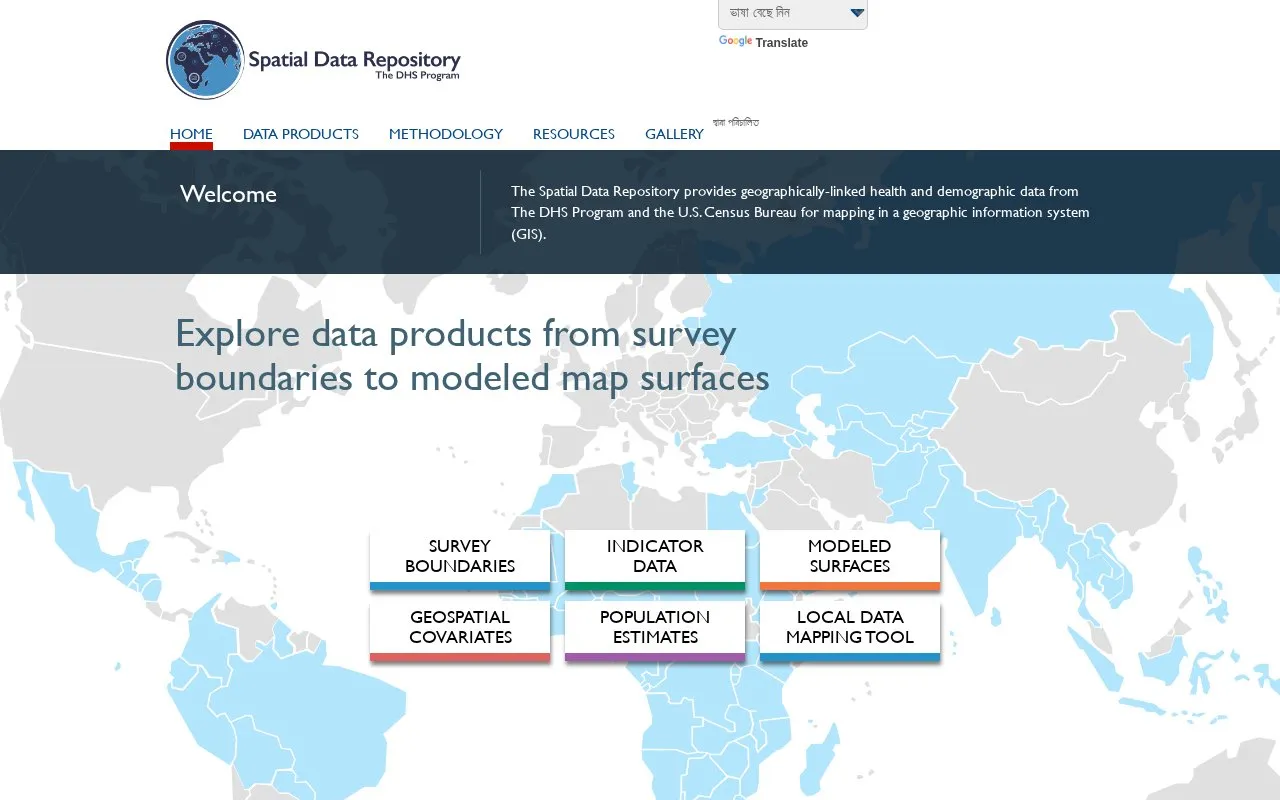
About Spatial Data Repository
The Spatial Data Repository provides geographically linked health and demographic data from The DHS Program and the U.S. Census Bureau for mapping in a geographic information system (GIS). Its data products include survey boundaries, indicators linked to boundaries, modeled map surfaces, geospatial covariates linked to survey GPS locations, and subnational population estimates, plus a tool to visualize indicator estimates at different geographic levels.
The site also offers a self-guided curriculum using open source QGIS software with repository data and Health Data Mapping Workshop training materials. It links to other DHS Program resources, including an API for aggregated indicator data and STATcompiler for custom tables.
Key features
- Subnational region boundaries for DHS surveys
- DHS survey indicators linked with boundary data
- Spatially modeled map surfaces of DHS indicators
- External spatial covariates linked to DHS GPS locations
- Subnational population estimates from U.S. Census Bureau
- Visualize key indicator estimates at different geographic levels
Best for: GIS users and researchers working with DHS health and demographic data.
Good for
- Provides boundaries, indicators, modeled surfaces, covariates, and population estimates
- Offers self-guided QGIS curriculum using repository data
- Links to API and STATcompiler for additional DHS data
Spatial Data Repository at a glance
- Category
- Research & Data › Health & Medical Data
- Type
- Website
- Pricing
- Not confirmed. Check the site
- Platforms
- Web
- Open source
- Not stated
- Last checked
- Oct 5, 2026 · Online when checked
- Listed
- Oct 5, 2026
Spatial Data Repository alternatives
Tools and sites you could use instead, ranked by how closely they match.

The Jan Kochanowski University repository organizes research data and collections across fields including humanities, health, science, and the arts.
CEDR is a U.S. Department of Energy public-use repository for occupational and environmental health study data; downloads require login.
Free
24 alternatives
Statistics Canada's biobank stores biospecimens from the Canadian Health Measures Survey for approved genetic health research.

The Global Health Data Exchange catalogs health and demographic datasets from around the world.
The Medical Expenditure Panel Survey collects large-scale survey data from families, individuals, medical providers, and employers in the United States.
Popular in Health & Medical Data
Well-known listings from the same topic.
Data.Suttondata.sutton.gov.ukProfiles Registryprofilesregistry.nlCanue Data Portalcanuedata.caScientific Registry of Transplant Recipientssrtr.hrsa.govAIDA Data Hubdatahub.aida.scilifelab.seSimTKsimtk.org


Spatial Data Repository FAQ
How can I learn to use the repository data in GIS?
The site offers a self-guided curriculum using open source QGIS software with Spatial Data Repository data.
Where are the QGIS and DHS data training materials?
The site provides the Health Data Mapping Workshop training materials as a 115 MB download.
Is something wrong or out of date?
Tell us and an editor will check it.
Own this website?
Claim this listing
Claim the listing and suggest updates yourself. An editor checks every claim first.