
North Ayrshire Council's open data portal is the site for its public datasets and related information.
Dataset
The Barrow Area Information Database provides local information and data for Alaska’s North Slope region.
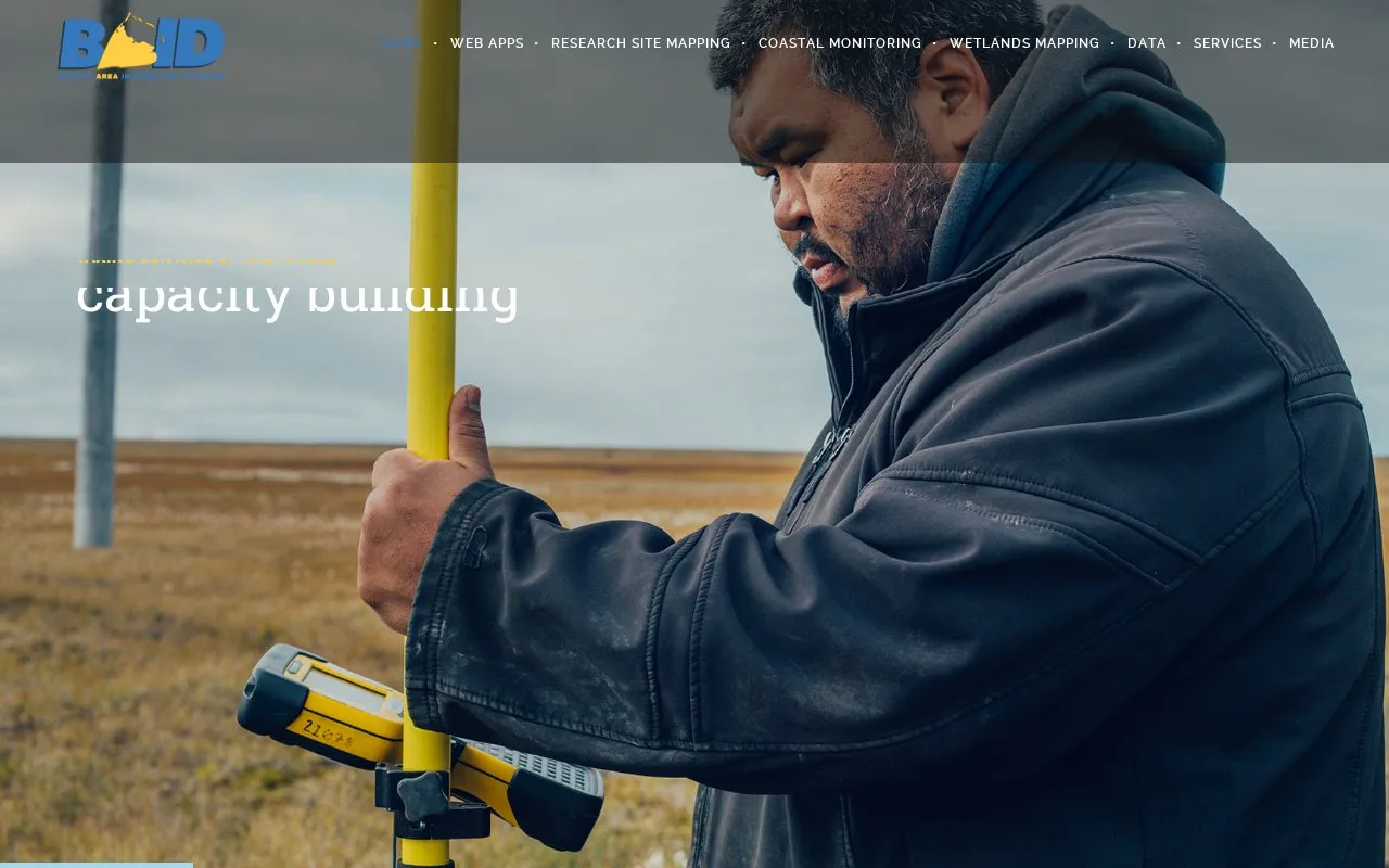
The Barrow Area Information Database provides local information and data for the Barrow area of Alaska's North Slope region. It includes research sites, observation platforms and instruments, vegetation plots, historical imagery, and coastal erosion surveys. It provides viewers for research sites, historical imagery, coastal change, and community planning and permitting. The Community Planning Tool report function is currently not supported, with a new release noted for 2026, and BAID IMS and BAID in Google Earth have been discontinued.
Other listings in Open Data & Datasets with the most in common.
North Ayrshire Council's open data portal is the site for its public datasets and related information.
Bangladesh Open Data organizes public datasets by topics including business, economy, environment and local government.
Strathcona County provides an open data site for public access to local datasets.
Fingal Open Data invites visitors to explore local data and tools and use them to develop their own insights.
The Brittany region’s open data portal presents the region’s public data as part of its public data service.
The NIRD Research Data Archive supports publishing, searching, and accessing research datasets across institutions and subject areas.
Well-known listings from the same topic.
Tell us and an editor will check it.
Claim the listing and suggest updates yourself. An editor checks every claim first.


