

TRRP DataPort brings together documents, datasets, mapping, time series, and restoration records for the Trinity River program.
Database for Hydrological Time Series of Inland Waters
DAHITI provides water-level time series from satellite altimetry for lakes, reservoirs, rivers, and wetlands.
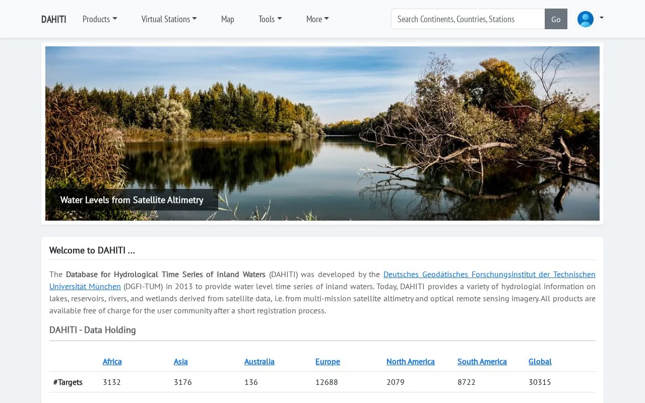
About Database for Hydrological Time Series of Inland Waters
DAHITI is a database of hydrological time series for inland waters. It was developed by the Deutsches Geodätisches Forschungsinstitut at the Technische Universität München (DGFI-TUM) in 2013. It provides water level time series for lakes, reservoirs, rivers and wetlands, derived from multi-mission satellite altimetry and optical remote sensing imagery.
The site also lists related products. These include surface area time series for lakes and reservoirs from optical imagery such as Landsat and Sentinel-2, estimated volume variations for lakes and reservoirs, bathymetry, water occurrence masks since 1984, and river discharge. According to the site, all products are free of charge after a short registration process.
Key features
- Water level time series for lakes, reservoirs, rivers and wetlands
- Surface area time series from Landsat and Sentinel-2 imagery for lakes and reservoirs
- Volume variation time series for lakes and reservoirs
- Water occurrence masks for lakes and reservoirs since 1984
- River discharge time series from altimetry and optical imagery
- Hypsometric curves and water level series for lakes and reservoirs
Best for: Researchers and others who need satellite-derived water level, surface area or discharge data for inland water bodies.
Good for
- Products are free of charge after registration, according to the site.
- Covers lakes, reservoirs, rivers and wetlands in one database.
- Combines satellite altimetry with optical remote sensing imagery.
Watch out for
- Access to the products requires a short registration process.
Database for Hydrological Time Series of Inland Waters at a glance
- Website
- dahiti.dgfi.tum.de/en
- Category
- Research & Data › Geographic & Mapping Data
- Type
- Website
- Pricing
- Free
- Platforms
- Web
- Open source
- Not stated
- Last checked
- Oct 6, 2026 · Online when checked
- Listed
- Oct 5, 2026
Database for Hydrological Time Series of Inland Waters alternatives
Tools and sites you could use instead, ranked by how closely they match.
Popular in Geographic & Mapping Data
Well-known listings from the same topic.
EUDR Toolseudrtools.comNew Mexico RGISrgis.unm.eduIUBio-Archiveiubioarchive.bio.netCottonGencottongen.orgBacMapbacmap.wishartlab.comEBRAINSebrains.eu



Database for Hydrological Time Series of Inland Waters FAQ
Does it cost money to use DAHITI?
The site states that all products are available free of charge after a short registration process.
What types of water bodies does DAHITI cover?
DAHITI provides data for lakes, reservoirs, rivers and wetlands.
Is something wrong or out of date?
Tell us and an editor will check it.
Own this website?
Claim this listing
Claim the listing and suggest updates yourself. An editor checks every claim first.