
Tennessee’s geospatial data portal lets visitors search, preview, and download geographic data from state agencies.
New Mexico RGIS
New Mexico RGIS provides a data portal, GIS resources, and an image archive for the state.
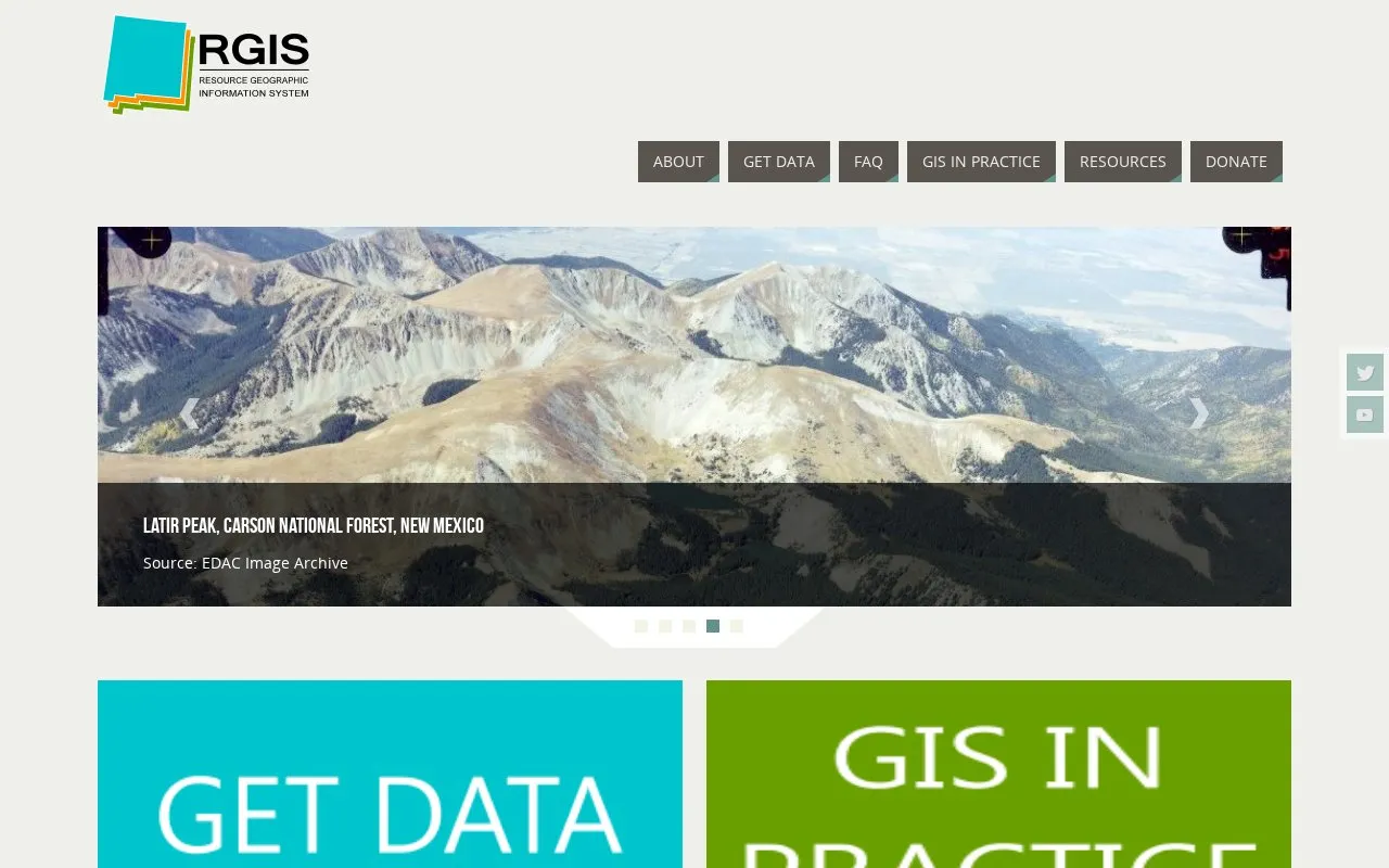
About New Mexico RGIS
New Mexico RGIS is the website of the New Mexico Resource Geographic Information System Program. It offers an RGIS Data Portal, GIS information, and an image archive focused on New Mexico. The Image Archive Program is maintained by the Earth Data Analysis Center at the University of New Mexico. According to the homepage, the archive holds historical aerial photography for New Mexico and the US Southwest, along with space shuttle imagery, satellite imagery, topographic maps, and digital data.
The homepage displays sample imagery and maps, including 2011 National Agriculture Imagery Program (NAIP) imagery, a USGS topographic map of New Mexico, and archive images of Albuquerque from 1964, Latir Peak in the Carson National Forest, and Fort Wingate. The homepage does not state pricing, usage terms, or geographic eligibility requirements for the portal or archive.
Key features
- RGIS Data Portal for accessing geographic data for New Mexico
- Historical aerial photography for New Mexico and the US Southwest
- Space shuttle and satellite imagery in the image archive
- Topographic maps and digital data held in the image archive
- Sample imagery including 2011 NAIP and 1964 Albuquerque views
Best for: People who need maps, imagery, or geographic data covering New Mexico, including historical aerial photography.
Good for
- The image archive includes historical aerial photography, which the homepage describes as a large collection for New Mexico and the US Southwest.
- The archive combines several data types, including imagery, topographic maps, and digital data, in one resource.
New Mexico RGIS at a glance
- Website
- rgis.unm.edu
- Category
- Research & Data › Geographic & Mapping Data
- Type
- Website
- Pricing
- Not confirmed. Check the site
- Platforms
- Web
- Open source
- Not stated
- Language
- English
- Last checked
- Oct 6, 2026 · Online when checked
- Listed
- Oct 5, 2026
New Mexico RGIS alternatives
Tools and sites you could use instead, ranked by how closely they match.
ASMI is the Italian archive of historical earthquake data, with records of past seismic events.
Amsterdam's Maps Data portal lists municipal maps and geospatial records, including planning, buildings, and land use information.
The BC Oil and Gas Commission Open Data Portal provides downloadable geographic data through ArcGIS Hub.
Ontario GeoHub supports discovering and downloading geospatial data through the province's online portal.

The West Virginia GIS Technical Center provides statewide mapping services, data resources, and the State Data Clearinghouse.
Popular in Geographic & Mapping Data
Well-known listings from the same topic.
EUDR Toolseudrtools.comIUBio-Archiveiubioarchive.bio.netCottonGencottongen.orgBacMapbacmap.wishartlab.comEBRAINSebrains.euWorld Data Centre for Greenhouse Gasesgaw.kishou.go.jp



New Mexico RGIS FAQ
What does the Image Archive Program contain?
According to the homepage, it contains historical aerial photography for New Mexico and the US Southwest, along with space shuttle imagery, satellite imagery, topographic maps, and digital data.
Who maintains the Image Archive Program?
The homepage states that the Image Archive Program is maintained by the Earth Data Analysis Center at the University of New Mexico.
Is something wrong or out of date?
Tell us and an editor will check it.
Own this website?
Claim this listing
Claim the listing and suggest updates yourself. An editor checks every claim first.