
NLR uses geographic information systems to create maps, analyses, models, applications, and visualizations for energy planning and production.
Open GEO-Data Amsterdam
Amsterdam's Maps Data portal lists municipal maps and geospatial records, including planning, buildings, and land use information.
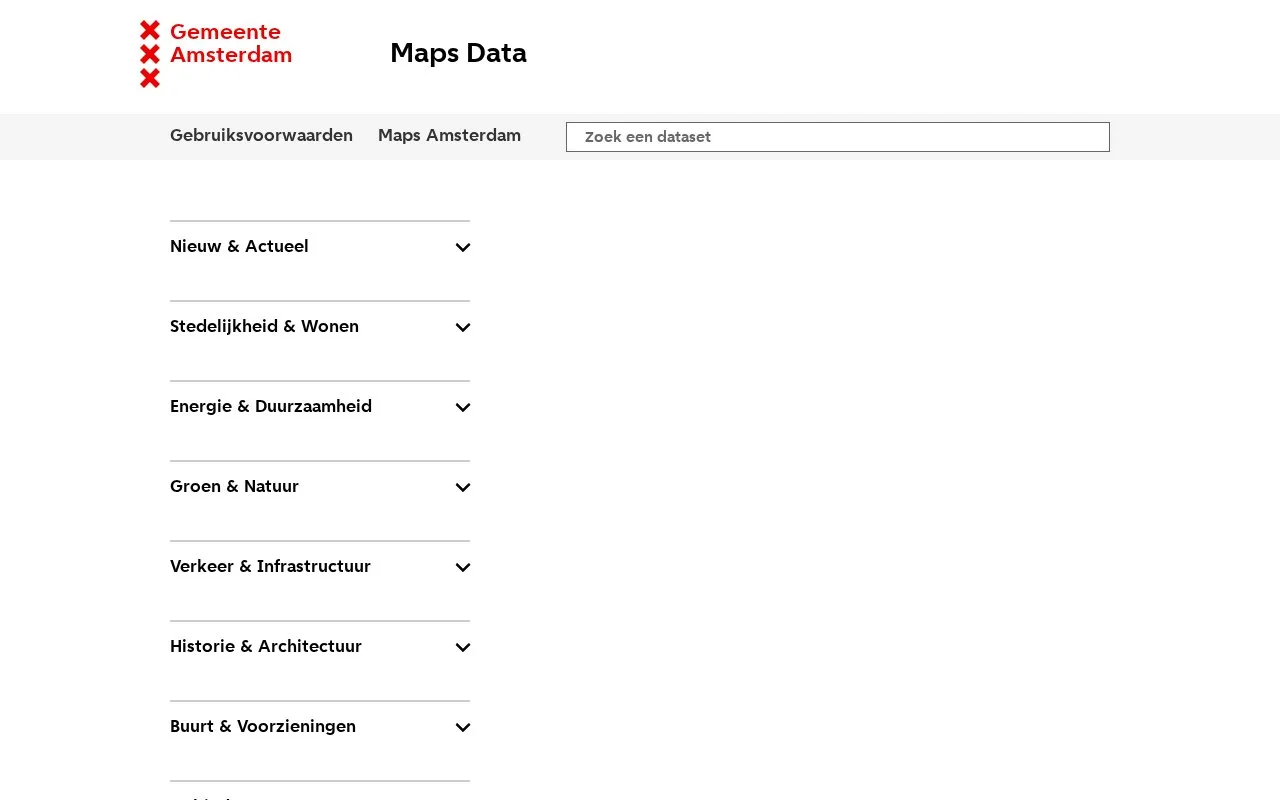
About Open GEO-Data Amsterdam
Open GEO-Data Amsterdam is the City of Amsterdam's Maps Data portal for municipal maps and geospatial records. It lists datasets on planning, buildings, land use, energy, green space and nature, traffic and infrastructure, history and architecture, neighbourhood facilities, and administrative areas.
Each dataset page lists attributes, object counts, currency, explanations, source holder and contact details. Data can be copied or downloaded in formats including CSV, Excel, GeoJSON, Esri shapes, and MapInfo files, with external WFS and WMS links for GIS software. Coordinates are in WGS84. The site content is in Dutch.
Key features
- Lists Amsterdam municipal maps on planning, buildings, and land use
- Covers energy, green space, traffic, history, facilities, and boundaries
- Shows attributes, object counts, currency, source holder, and contacts
- Downloads in CSV, Excel, GeoJSON, Esri shapes, and MapInfo
- Provides external WFS and WMS links for GIS software
- Supports use of WFS links as vector layers in QGIS
Best for: People who need Amsterdam municipal geographic data for research, planning, or mapping work.
Good for
- Includes datasets across planning, environment, traffic, and history topics
- Offers multiple download formats and GIS service links
- Includes dataset metadata such as currency and source contacts
Watch out for
- Site content and dataset names are in Dutch
Open GEO-Data Amsterdam at a glance
- Category
- Research & Data › Geographic & Mapping Data
- Type
- Website
- Pricing
- Not confirmed. Check the site
- Platforms
- Web
- Open source
- Not stated
- Language
- Dutch
- Last checked
- Oct 7, 2026 · Online when checked
- Listed
- Oct 5, 2026
Open GEO-Data Amsterdam alternatives
Tools and sites you could use instead, ranked by how closely they match.
Ontario GeoHub supports discovering and downloading geospatial data through the province's online portal.
Tennessee’s geospatial data portal lets visitors search, preview, and download geographic data from state agencies.
Port Moody's ArcGIS Hub supports discovering, analyzing, and downloading municipal data with mapping and API tools.
Mississippi's geospatial catalog supports data downloads, mapping services, charts, thematic maps, and web mapping tools.
The BC Oil and Gas Commission Open Data Portal provides downloadable geographic data through ArcGIS Hub.
Popular in Geographic & Mapping Data
Well-known listings from the same topic.
EUDR Toolseudrtools.comNew Mexico RGISrgis.unm.eduIUBio-Archiveiubioarchive.bio.netCottonGencottongen.orgBacMapbacmap.wishartlab.comEBRAINSebrains.eu



Open GEO-Data Amsterdam FAQ
What coordinate system does the data use?
Coordinates are in WGS84.
What file formats can I download?
Listed options include CSV, Excel, GeoJSON, Esri shapes, and MapInfo MIF and MID files.
How do I use an external WFS link in QGIS?
Paste the link in QGIS and add it as a Vector layer, not as WFS.
Is something wrong or out of date?
Tell us and an editor will check it.
Own this website?
Claim this listing
Claim the listing and suggest updates yourself. An editor checks every claim first.