
ASMI is the Italian archive of historical earthquake data, with records of past seismic events.
Chesapeake Bay Data Hub
Browse Chesapeake Bay monitoring and modeling data, including historical and current environmental records.
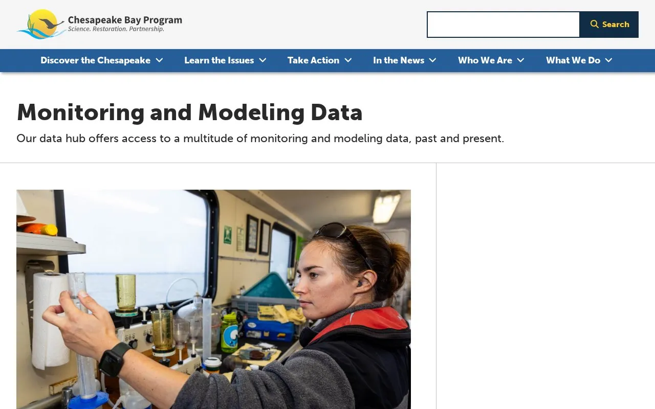
About Chesapeake Bay Data Hub
The Chesapeake Bay Data Hub is a web-based platform that provides access to historical and current monitoring and modeling data for the Chesapeake Bay ecosystem. Users can query Bay Program databases using custom geographic region and date range inputs, with results available as downloadable tab- or comma-delimited text files for analysis in tools such as SAS, Excel, and Access. The platform includes datasets covering pollutants, water quality, land use, algae, fish, crabs, and submerged aquatic vegetation, supported by a Quality Assurance Program to ensure data accuracy and comparability across contributing agencies. It also offers access to GIS datasets, modeling scenario outputs, long-term monitoring records, and specialized tools like the Percent Light at Leaf calculator for submerged aquatic vegetation analysis.
Key features
- Query Bay Program databases by geographic region and date range
- Download results as tab- or comma-delimited text files
- Access historical water quality data dating back to 1949
- Browse ecosystem modeling scenario output datasets
- View GIS datasets for the Chesapeake Bay watershed
- Use the Percent Light at Leaf Excel calculator for SAV analysis
Best for: Researchers, policymakers, and land managers focused on Chesapeake Bay ecosystem conservation and restoration.
Good for
- Data is validated by a Quality Assurance Program ensuring accuracy and cross-agency comparability
- Includes long-term historical monitoring data alongside current modeling outputs
- Downloadable results are compatible with common analysis tools like Excel, SAS, and Access
Watch out for
- Provided analysis tools require Microsoft Excel or compatible spreadsheet software
Chesapeake Bay Data Hub at a glance
- Website
- chesapeakebay.net/what/data
- Category
- Research & Data › Geographic & Mapping Data
- Type
- Website
- Pricing
- Not confirmed. Check the site
- Platforms
- Web
- Open source
- Not stated
- Language
- English
- Last checked
- Oct 6, 2026 · Online when checked
- Listed
- Oct 5, 2026
Chesapeake Bay Data Hub alternatives
Tools and sites you could use instead, ranked by how closely they match.

Explore freely accessible North Sea maps, campaign data, and oceanographic model results through coastMap, Hereon's marine geoportal.

WDCGG provides greenhouse gas data search, satellite records, publications, statistics, and contributor guidance.

The Analytical Geomagnetic Data Center provides observatory data and offers downloads, plots, and satellite records.
Popular in Geographic & Mapping Data
Well-known listings from the same topic.
EUDR Toolseudrtools.comNew Mexico RGISrgis.unm.eduIUBio-Archiveiubioarchive.bio.netCottonGencottongen.orgBacMapbacmap.wishartlab.comEBRAINSebrains.eu



Chesapeake Bay Data Hub FAQ
What types of data are available through the Chesapeake Bay Data Hub?
The hub provides monitoring and modeling data for the Chesapeake Bay, including records on pollutants, water quality, land use, algae, fish, crabs, and submerged aquatic vegetation.
What format are query results provided in?
Query results are downloadable as tab- or comma-delimited text files compatible with tools like SAS, Excel, and Access.
What is the purpose of the Chesapeake Bay Quality Assurance Program?
It monitors and tracks environmental data sets to ensure data from over 40 contributing agencies and institutions is scientifically valid and comparable across the watershed.
Is something wrong or out of date?
Tell us and an editor will check it.
Own this website?
Claim this listing
Claim the listing and suggest updates yourself. An editor checks every claim first.