

Explore bacterial genomes through BacMap, an interactive database of searchable and zoomable genome maps.
coastMap
Explore freely accessible North Sea maps, campaign data, and oceanographic model results through coastMap, Hereon's marine geoportal.
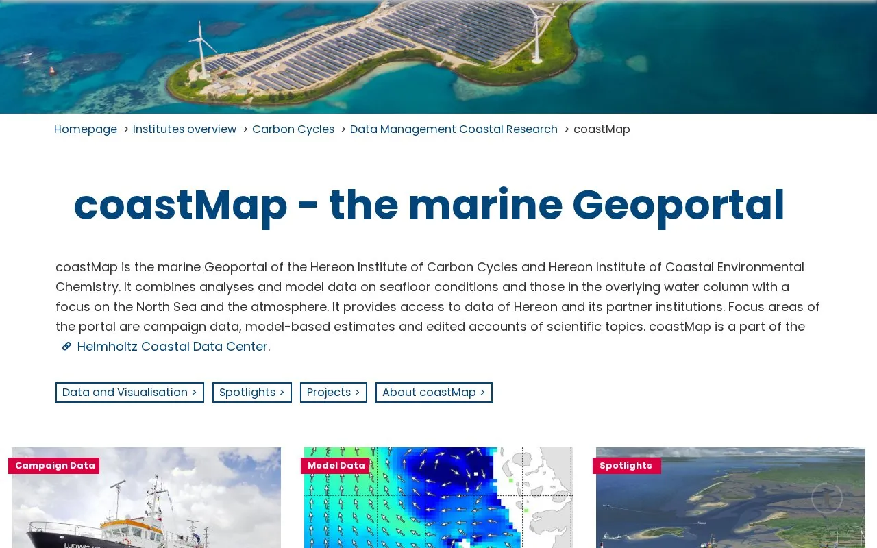
About coastMap
coastMap is the marine Geoportal of the Hereon Institute of Carbon Cycles and the Hereon Institute of Coastal Environmental Chemistry. It provides access to analyses and model data on seafloor conditions and the overlying water column, with a focus on the North Sea and the atmosphere. It also gives access to data from Hereon and its partner institutions. The portal is part of the Helmholtz Coastal Data Center.
The portal has three main sections: a searchable database of campaign data, interactive model data, and Spotlights, which are edited scientific articles supported by maps and information material.
Key features
- Searchable campaign data database with filters based on various search criteria
- Campaign data downloadable as shapefile or CSV files
- Interactive display and download of model data with further information
- Model-based estimates covering seafloor and water column conditions
- Spotlights: edited scientific topics presented with maps and information material
- Data from Hereon and partner institutions, part of the Helmholtz Coastal Data Center
Best for: People who need North Sea campaign data, model results, or explanatory scientific material on marine and coastal topics.
Good for
- Described as freely accessible North Sea maps, campaign data and model results
- Campaign data can be downloaded in shapefile or CSV format
- Scientific topics are explained in edited Spotlights with map material
Watch out for
- Focus is on the North Sea and the atmosphere, so coverage outside this scope is not described
- Model data is presented as estimates based on models rather than direct measurements
coastMap at a glance
- Category
- Research & Data › Geographic & Mapping Data
- Type
- Website
- Pricing
- Not confirmed. Check the site
- Platforms
- Web
- Open source
- Not stated
- Language
- English
- Last checked
- Oct 6, 2026 · Online when checked
- Listed
- Oct 5, 2026
coastMap alternatives
Tools and sites you could use instead, ranked by how closely they match.

NLR uses geographic information systems to create maps, analyses, models, applications, and visualizations for energy planning and production.
The California State Geoportal lets visitors discover and download geographic data in CSV, KML, GeoJSON and other formats.

Browse Chesapeake Bay monitoring and modeling data, including historical and current environmental records.
The Kansas Geoportal is a hub for sharing geospatial data across state departments.
NC OneMap provides North Carolina geospatial data and services for searching, analysis, mapping, and application development.
Popular in Geographic & Mapping Data
Well-known listings from the same topic.
EUDR Toolseudrtools.comNew Mexico RGISrgis.unm.eduIUBio-Archiveiubioarchive.bio.netCottonGencottongen.orgEBRAINSebrains.euWorld Data Centre for Greenhouse Gasesgaw.kishou.go.jp



coastMap FAQ
In what formats can campaign data be downloaded?
Campaign data can be downloaded as shape or CSV files.
Whose data is available on coastMap?
It provides access to data of Hereon and its partner institutions.
Is something wrong or out of date?
Tell us and an editor will check it.
Own this website?
Claim this listing
Claim the listing and suggest updates yourself. An editor checks every claim first.