
The Global Multi-Resolution Topography synthesis provides elevation data, with tools to create custom maps and grids.
WHOI Argo Program
The WHOI Argo program provides float data, deployment information, station status, and maps of global Argo coverage.
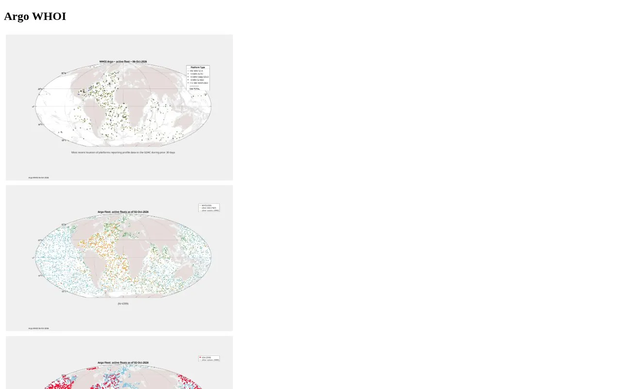
About WHOI Argo Program
The WHOI Argo Program is a web-based resource from the Woods Hole Oceanographic Institution that provides access to Argo ocean float data, deployment records, operational status updates, and maps of global Argo coverage. It hosts datasets for WHOI-managed core, deep, biogeochemical (BGC), and ALAMO/ALTO Argo floats, along with associated engineering resources, quality control status information, and derived analytical datasets.
Key features
- Global Argo coverage and sparseness maps
- Historical and planned Argo deployment records
- Active WHOI float operational status tracking
- WHOI GDAC cohort-grouped Argo data access
- SOLO-family float telemetry decoding and indexing
- Argo CTD diagnostic datasets by DAC and WMO
Best for: Ocean researchers, climate scientists, and marine data analysts working with Argo float oceanographic data.
Good for
- Centralized hub for WHOI-specific Argo float data and status information
- Includes both real-time and delayed-mode quality-controlled Argo datasets
- Provides detailed historical deployment atlases and annual cruise records
WHOI Argo Program at a glance
- Website
- argo.whoi.edu
- Category
- Research & Data › Geographic & Mapping Data
- Type
- Website
- Pricing
- Not confirmed. Check the site
- Platforms
- Web
- Open source
- Not stated
- Language
- English
- Last checked
- Oct 6, 2026 · Online when checked
- Listed
- Oct 5, 2026
WHOI Argo Program alternatives
Tools and sites you could use instead, ranked by how closely they match.
Amsterdam's Maps Data portal lists municipal maps and geospatial records, including planning, buildings, and land use information.
Mississippi's geospatial catalog supports data downloads, mapping services, charts, thematic maps, and web mapping tools.

Explore freely accessible North Sea maps, campaign data, and oceanographic model results through coastMap, Hereon's marine geoportal.

GeoGratis provides free search, discovery, and downloads for maps, cartographic data, imagery, and publications.
Kilgore's GIS Hub supports discovering, analyzing, and downloading local data, with map services and tools for creating web maps.
Popular in Geographic & Mapping Data
Well-known listings from the same topic.
EUDR Toolseudrtools.comNew Mexico RGISrgis.unm.eduIUBio-Archiveiubioarchive.bio.netCottonGencottongen.orgBacMapbacmap.wishartlab.comEBRAINSebrains.eu



WHOI Argo Program FAQ
What types of Argo float data are available?
Data for WHOI core, deep, BGC, and ALAMO/ALTO floats, plus decoded SOLO-family telemetry.
Where can I find historical WHOI Argo deployment records?
An atlas sorted by year and ocean basin, plus annual deployment summary tables are available.
What quality control resources are provided for WHOI floats?
Real-time data flow tables, delayed-mode QC status for all WHOI floats, and Argo CTD diagnostics.
Is something wrong or out of date?
Tell us and an editor will check it.
Own this website?
Claim this listing
Claim the listing and suggest updates yourself. An editor checks every claim first.