

The Partnership for Interdisciplinary Studies of Coastal Oceans is an academic consortium researching the California Current coastal ocean.
Martha's Vineyard Coastal Observatory
The Martha’s Vineyard Coastal Observatory shares current conditions and downloadable wave, temperature, pressure, wind, and tide data.
About Martha's Vineyard Coastal Observatory
The Martha’s Vineyard Coastal Observatory (MVCO) is a dedicated research and engineering facility operated by the Woods Hole Oceanographic Institution, situated a mile off the south shore of Martha’s Vineyard, Massachusetts. The observatory comprises an offshore Air-Sea Interaction Tower and an onshore meteorological mast on South Beach, both equipped with instruments to capture continuous coastal oceanographic and meteorological measurements.
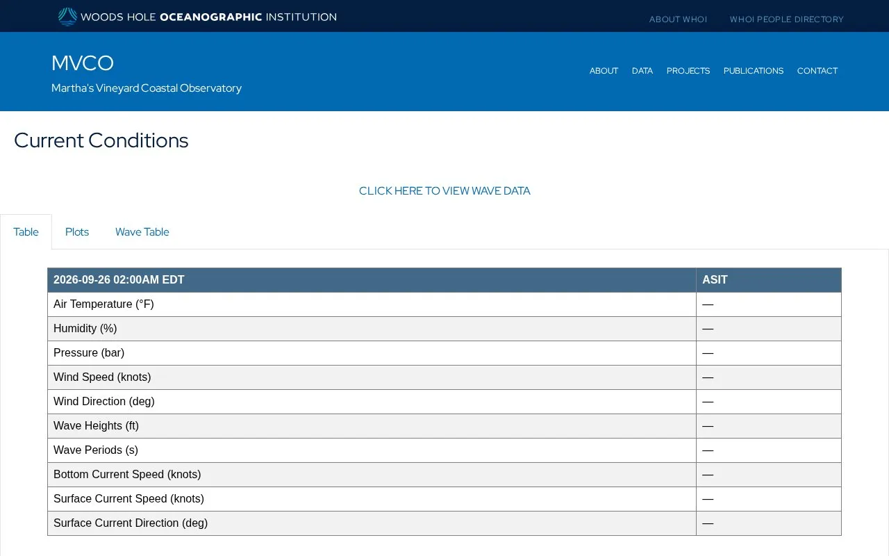
Visitors to the MVCO website can view real-time current conditions, explore interactive time-series plots for parameters including wave height, water and air temperature, atmospheric pressure, wind speed, and tide levels, and download full raw datasets for independent analysis or research. A live webcam feed from the offshore tower is also available for public viewing, offering direct visual access to the coastal monitoring site.
The platform is built to serve academic researchers, K-12 and post-secondary students, and any members of the public with an interest in local coastal environmental conditions, long-term coastal trends, or oceanographic and meteorological data.
Key features
- Real-time access to coastal oceanographic and meteorological data
- Downloadable datasets for wave, temperature, pressure, wind, tide, and currents
- Interactive 1-day and 5-day time-series plots for all measured parameters
- Live webcam feed from the offshore Air-Sea Interaction Tower
- Toggle between US and metric units for all data displays
Best for: The Martha’s Vineyard Coastal Observatory benefits most researchers, students, and the general public seeking local coastal oceanographic and meteorological data.
Good for
- Operated by the established Woods Hole Oceanographic Institution
- Provides both real-time and archived historical data
- Offers multiple data access formats (tables, plots, downloads)
- Free, open access for all users
Watch out for
- Data coverage is limited to the Martha's Vineyard coastal region
- No built-in advanced data analysis or custom visualization tools
Martha's Vineyard Coastal Observatory at a glance
- Website
- mvco.whoi.edu
- Category
- Research & Data › Open Data & Datasets
- Type
- Website
- Pricing
- Not confirmed. Check the site
- Platforms
- Web
- Open source
- Not stated
- Language
- English
- Last checked
- Oct 5, 2026 · Online when checked
- Listed
- Oct 5, 2026
Martha's Vineyard Coastal Observatory alternatives
Tools and sites you could use instead, ranked by how closely they match.

Drought Central is a drought observatory from CNR IBE, with updates on drought conditions and reports based on Copernicus data.

The Wind Data Hub collects, stores, catalogs, and shares wind energy research data with funding from the U.S. Department of Energy.

The ReefTEMPS observation network monitors tropical island coastal waters and provides access to related data services.

Hong Kong’s open data platform provides datasets for free reuse under the platform’s terms and conditions.
Free
24 alternatives
Amsterdam’s municipal data site provides current city information and lets visitors search streets, buildings, public spaces, map layers, and datasets.
Popular in Open Data & Datasets
Well-known listings from the same topic.
data.worlddata.worldNASA APIapi.nasa.govState of Hawaiidata.hawaii.govCosmoSimcosmosim.orgdata.meudon.frdata.meudon.frESS-DIVEess-dive.lbl.gov


Martha's Vineyard Coastal Observatory FAQ
What types of data does MVCO collect?
MVCO collects real-time and archived wave, temperature, pressure, wind, tide, and current data from its coastal monitoring sites.
Is MVCO data free to access and download?
All current and archived data is available for free public access and download via the observatory website, as it is classified as open data.
Who operates the Martha's Vineyard Coastal Observatory?
MVCO is operated by the Woods Hole Oceanographic Institution, a leading U.S. oceanographic research organization.
Is something wrong or out of date?
Tell us and an editor will check it.
Own this website?
Claim this listing
Claim the listing and suggest updates yourself. An editor checks every claim first.