
The Thünen Atlas presents interactive maps and data about rural areas, forests, seas, agriculture, and land use in Germany.
Portail géographique de la Guyane
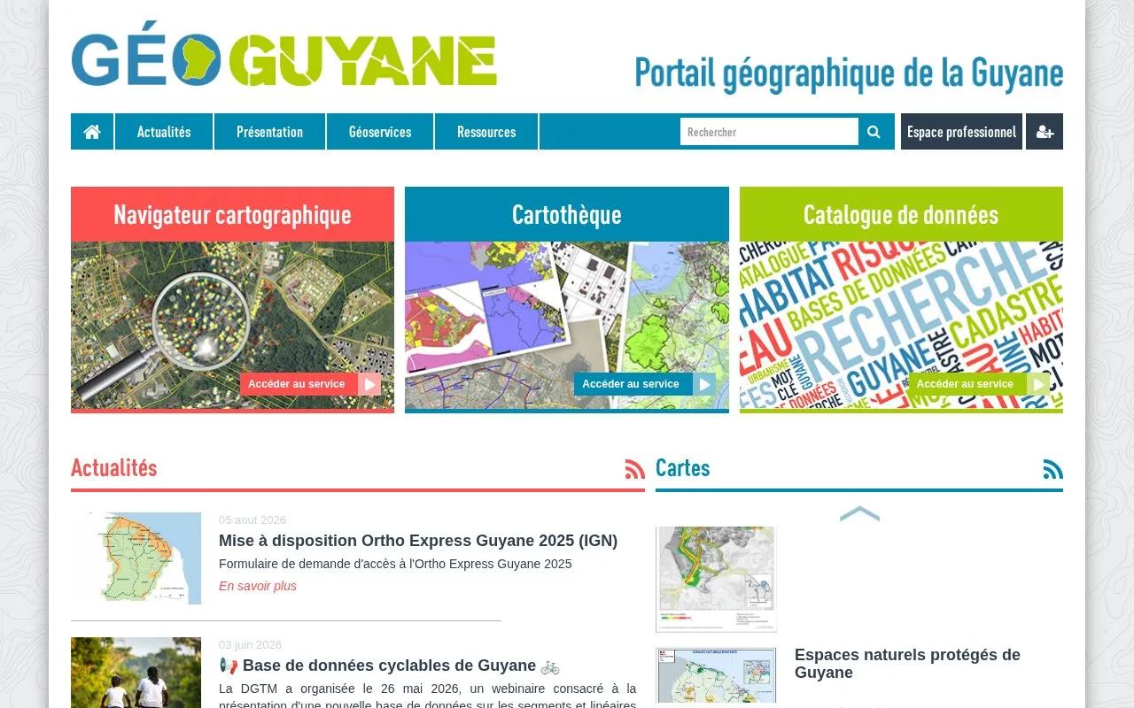
Géoguyane brings together interactive maps, downloadable map collections, and a catalog of geographic data for French Guiana.
About Portail géographique de la Guyane
Géoguyane is the official shared geographic portal for French Guiana, providing public access to regional geographic data resources. It offers an interactive map browser for visualizing and creating custom maps, a cartothèque of downloadable themed maps, and a searchable catalog of metadata describing available geographic datasets. The portal also publishes updates on regional geographic data releases and initiatives.
Key features
- Interactive map browser for visualizing and creating custom maps from portal data
- Cartothèque of downloadable themed maps for French Guiana
- Searchable catalog of metadata for French Guiana geographic datasets
- Regularly updated datasets covering land use, environment, and public infrastructure
Best for: It is most useful for researchers, public sector professionals, and others needing French Guiana-specific geographic data.
Good for
- Centralized access to a wide range of French Guiana geographic data resources
- Offers both interactive mapping tools and downloadable map collections
- Datasets are regularly updated, with recent releases including 2025 ortho imagery
Watch out for
- Portal interface and content are only available in French
- Select datasets require formal access requests rather than immediate download
- Does not provide official guidance on urban planning regulations, directing users to local territorial authorities
Portail géographique de la Guyane at a glance
- Category
- Research & Data › Open Data & Datasets
- Type
- Website
- Pricing
- Not confirmed. Check the site
- Platforms
- Web
- Open source
- Not stated
- Language
- French
- Last checked
- Oct 6, 2026 · Online when checked
- Listed
- Oct 5, 2026
Portail géographique de la Guyane alternatives
Tools and sites you could use instead, ranked by how closely they match.

Meudon's data portal brings together information about the city in one place for public access and reuse.

Prague’s geoportal provides geographic data and maps, including map applications, open data, map services, and planning resources.

Korea's EcoBank ecological information portal brings together data on ecosystems, species, and natural environments.
Dharmae brings together Australian marine and aquatic ecoculture research, including oral histories and local knowledge collections.

Israel's government data portal brings together public datasets from government ministries and supports searching the records.
Popular in Open Data & Datasets
Well-known listings from the same topic.
data.worlddata.worldNASA APIapi.nasa.govState of Hawaiidata.hawaii.govCosmoSimcosmosim.orgESS-DIVEess-dive.lbl.govPathway Commonspathwaycommons.org


Portail géographique de la Guyane FAQ
What types of geographic resources does Géoguyane offer?
It provides interactive maps, downloadable themed map collections, and a searchable catalog of geographic dataset metadata for French Guiana.
Who should users contact for questions about local urban planning rules?
Users should contact the local town hall for individual communes, or the relevant intercommunal public body for intercommunal territories.
Is the 2025 Ortho Express Guyane dataset available for immediate download?
No, access requires submitting a formal request form through the portal.
Is something wrong or out of date?
Tell us and an editor will check it.
Own this website?
Claim this listing
Claim the listing and suggest updates yourself. An editor checks every claim first.