
The City of Antwerp’s open-data geoportal provides access to municipal datasets and geographic information.
Geoportal of the city of Prague
Prague’s geoportal provides geographic data and maps, including map applications, open data, map services, and planning resources.
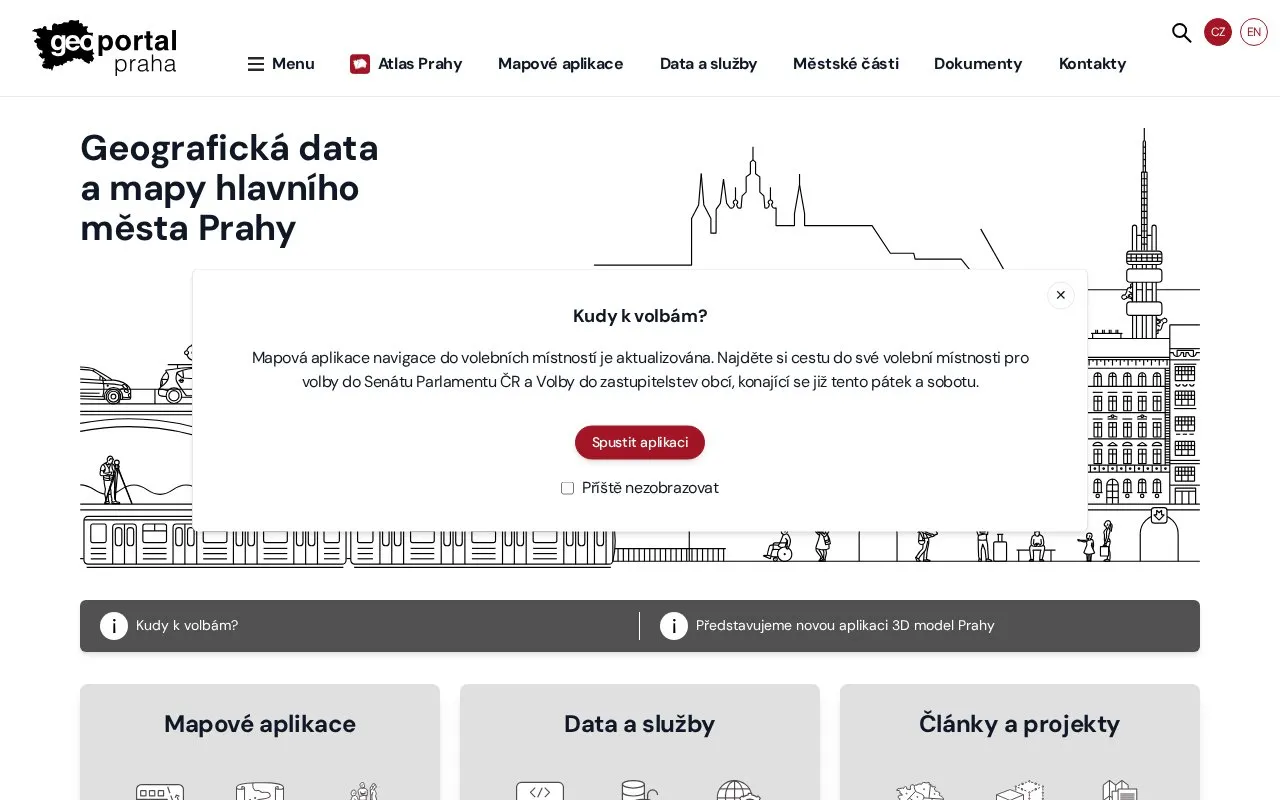
About Geoportal of the city of Prague
The Geoportal of the city of Prague provides geographic data and maps for the capital city of Prague. It includes map applications such as the digital technical map, historical maps, and maps for the public, as well as open data, metadata, and map services with data search.
It also publishes articles and projects related to spatial planning, the digital twin, and plans and projects, with content organized by city district. The site offers Czech and English versions and is operated by the Prague Institute of Planning and Development.
Key features
- Digital technical map of Prague
- Historical maps of Prague
- Map applications for the general public
- Searchable open data, metadata and map services
- Articles on spatial planning and digital twin
- Information organized by Prague city districts
Best for: People looking for Prague maps, geographic data, or planning documents.
Good for
- Offers both Czech and English versions
- Provides historical maps alongside current technical and public maps
- Combines maps, open data, map services and planning articles in one site
Watch out for
- Data and maps cover the city of Prague only
Geoportal of the city of Prague at a glance
- Website
- geoportalpraha.cz
- Category
- Research & Data › Open Data & Datasets
- Type
- Website
- Pricing
- Not confirmed. Check the site
- Platforms
- Web
- Open source
- Not stated
- Language
- Czech
- Last checked
- Oct 5, 2026 · Online when checked
- Listed
- Oct 5, 2026
Geoportal of the city of Prague alternatives
Tools and sites you could use instead, ranked by how closely they match.

The South Moravian Region geoportal provides map applications and regional geographic information.

The GeoPortal.MV platform helps users view maps and find places, topics, geodata, and metadata for Mecklenburg-Vorpommern.
Géoguyane brings together interactive maps, downloadable map collections, and a catalog of geographic data for French Guiana.

Prague’s local open data catalog lets visitors browse and download datasets using the DCAT-AP-CZ standard.

GeoPortal RLP provides map layers, datasets, organizations, applications, and thematic categories for Rhineland-Palatinate.
Popular in Open Data & Datasets
Well-known listings from the same topic.
data.worlddata.worldNASA APIapi.nasa.govCosmoSimcosmosim.orgState of Hawaiidata.hawaii.govdata.meudon.frdata.meudon.frESS-DIVEess-dive.lbl.gov


Is something wrong or out of date?
Tell us and an editor will check it.
Own this website?
Claim this listing
Claim the listing and suggest updates yourself. An editor checks every claim first.