
Géoguyane brings together interactive maps, downloadable map collections, and a catalog of geographic data for French Guiana.
Thünen Atlas
The Thünen Atlas presents interactive maps and data about rural areas, forests, seas, agriculture, and land use in Germany.
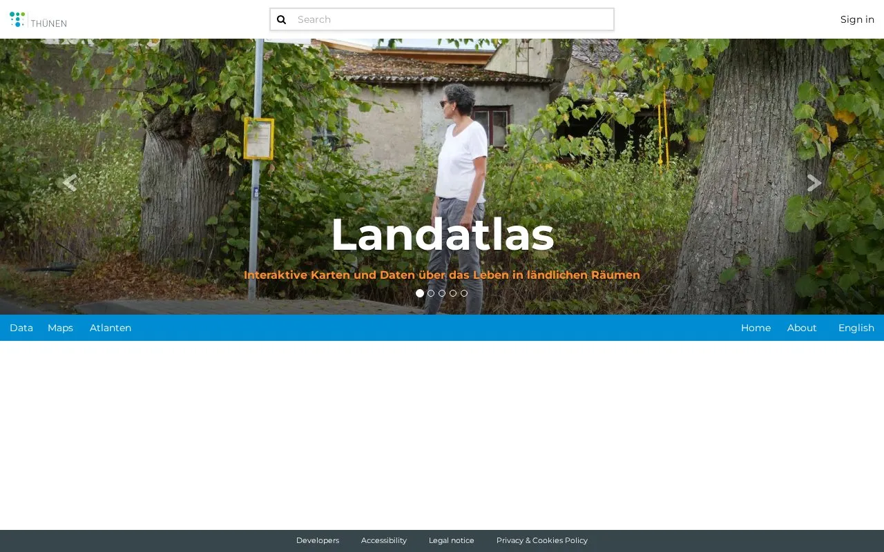
About Thünen Atlas
The Thünen Atlas is a website of interactive maps and data about rural areas, forests, seas, agriculture, and land use in Germany. It is organized into five separate atlases, each covering a different subject: rural life, forests, marine use and condition, agricultural land use and livestock, and satellite-based land use.
The maps and data are intended for people who want to explore spatial patterns in these subjects. The Agraratlas presents area-wide trends across Germany, and the Fernerkundungsatlas uses satellite data. The source does not describe download options, data formats, or licensing terms.
Key features
- Landatlas with interactive maps and data on life in rural areas
- Waldatlas covering forests and forest use
- Meeresatlas showing use and condition of the seas
- Agraratlas with area-wide trends in land use and livestock keeping
- Fernerkundungsatlas with land use maps derived from satellite data
Best for: Researchers, planners, and students who need spatial information on rural areas, forests, seas, agriculture, or land use in Germany.
Good for
- Covers several related subjects in one site, from rural areas to marine use
- Includes land use maps and data derived from satellite imagery
Watch out for
- Coverage is focused on Germany
Thünen Atlas at a glance
- Website
- atlas.thuenen.de
- Category
- Research & Data › Open Data & Datasets
- Type
- Website
- Pricing
- Not confirmed. Check the site
- Platforms
- Web
- Open source
- Not stated
- Last checked
- Oct 6, 2026 · Online when checked
- Listed
- Oct 5, 2026
Thünen Atlas alternatives
Tools and sites you could use instead, ranked by how closely they match.

Germany’s Bundes-Klinik-Atlas lets users search information on about 1,600 hospitals.

DataViva presents Brazilian socioeconomic data through regional diagnostics, interactive charts, rankings, and research labs.

The Sand Atlas presents 3D models of particles and invites contributors to share additional two- or three-dimensional data.

DISS maps tectonic, fault, and paleoseismological information for assessing seismic hazard, including potential earthquake sources in Italy and nearby areas.

data.grandlyon.com presents data from organizations across the Lyon metropolitan area.
Popular in Open Data & Datasets
Well-known listings from the same topic.
data.worlddata.worldNASA APIapi.nasa.govCosmoSimcosmosim.orgdata.meudon.frdata.meudon.frESS-DIVEess-dive.lbl.govState of Hawaiidata.hawaii.gov


Thünen Atlas FAQ
Which geographic area does the Thünen Atlas cover?
The directory description and the Agraratlas entry both refer to Germany.
What subjects are covered by the atlases?
The atlases cover rural areas, forests and forest use, the use and condition of seas, agricultural land use and livestock keeping, and land use based on satellite data.
Is something wrong or out of date?
Tell us and an editor will check it.
Own this website?
Claim this listing
Claim the listing and suggest updates yourself. An editor checks every claim first.