
NASA’s Ozone Mapping and Profiler Suite provides ozone and atmospheric composition products from satellite instruments.
Moderate Resolution Imaging Spectroradiometer
MODIS Web organizes satellite products across atmosphere and land topics, including clouds, vegetation, surface reflectance, and fires.
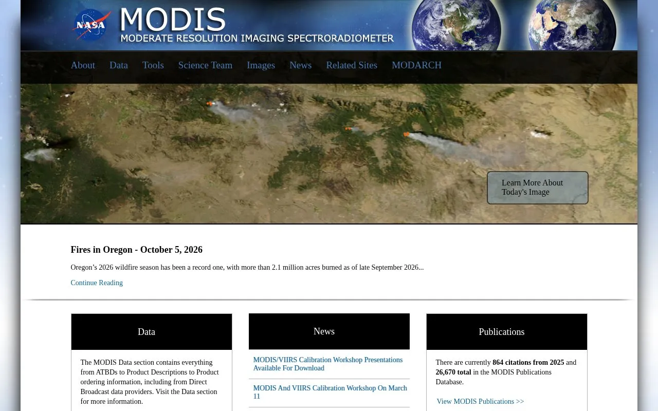
About Moderate Resolution Imaging Spectroradiometer
MODIS Web is a NASA-hosted platform that organizes Moderate Resolution Imaging Spectroradiometer satellite products across atmospheric, land, cryosphere, and ocean research topics. It provides access to datasets including clouds, vegetation indices, surface reflectance, fire thermal anomalies, snow cover, and sea surface temperature, alongside related data documentation, a searchable publications database, and calibration workshop materials.
Key features
- Access to MODIS Level 1 raw and calibrated radiances and geolocation fields
- Atmosphere products including aerosol, cloud, and total precipitable water data
- Land products such as NDVI, land surface temperature, and fire thermal anomalies
- Cryosphere datasets for snow cover and sea ice surface temperature
- Ocean products including sea surface temperature and chlorophyll-a concentration
- Access to MODIS publications database and calibration workshop materials
Best for: This platform is most useful for researchers, scientists, and analysts working with satellite Earth observation data across atmospheric, land, ocean, and cryosphere research areas.
Good for
- Centralizes a wide range of cross-disciplinary MODIS satellite datasets in one location
- Hosts a large, searchable MODIS publications database with thousands of citations
- Provides access to calibration workshop materials and data product documentation
Watch out for
- No open source access to underlying code or datasets
- Only accessible via web interface with no stated desktop or mobile app support
- Pricing for data access or premium features is not publicly listed
Moderate Resolution Imaging Spectroradiometer at a glance
- Website
- modis.gsfc.nasa.gov
- Category
- Research & Data › Open Data & Datasets
- Type
- Website
- Pricing
- Not confirmed. Check the site
- Platforms
- Web
- Open source
- Not stated
- Last checked
- Oct 5, 2026 · Online when checked
- Listed
- Oct 5, 2026
Moderate Resolution Imaging Spectroradiometer alternatives
Tools and sites you could use instead, ranked by how closely they match.

EBAS stores and disseminates atmospheric composition measurements produced by national and international monitoring programs and research projects.

The Global Carbon Atlas lets visitors explore and visualize data on carbon fluxes, including country-level emissions from human activities.

The Tropical Atmosphere Ocean Project provides buoy data products, station plots, archives, and data quality resources.
Brazil’s Superior Electoral Court open data portal organizes election datasets by year, organization, group, and campaign finance topic.

Ostrava’s open data catalog organizes datasets across topics such as transport, culture, population, public services, and the environment.
Popular in Open Data & Datasets
Well-known listings from the same topic.
data.worlddata.worldNASA APIapi.nasa.govCosmoSimcosmosim.orgdata.meudon.frdata.meudon.frESS-DIVEess-dive.lbl.govState of Hawaiidata.hawaii.gov


Moderate Resolution Imaging Spectroradiometer FAQ
What types of satellite products are available on MODIS Web?
Products cover atmosphere, land, cryosphere, and ocean topics, including clouds, vegetation, surface reflectance, fires, snow cover, and sea surface temperature.
Where can I find MODIS data documentation and product information?
The platform's Data section includes ATBDs, product descriptions, and ordering information, including from Direct Broadcast data providers.
Is there access to MODIS-related publications and calibration materials?
Yes, the site hosts a searchable MODIS publications database and offers calibration workshop presentations for download.
Is something wrong or out of date?
Tell us and an editor will check it.
Own this website?
Claim this listing
Claim the listing and suggest updates yourself. An editor checks every claim first.