

EBAS stores and disseminates atmospheric composition measurements produced by national and international monitoring programs and research projects.
Ozone Mapping and Profiler Suite
NASA’s Ozone Mapping and Profiler Suite provides ozone and atmospheric composition products from satellite instruments.
About Ozone Mapping and Profiler Suite
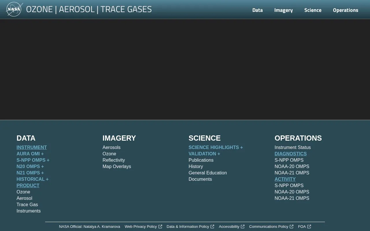
NASA's Ozone Mapping and Profiler Suite (OMPS) provides ozone and atmospheric composition products from satellite instruments. The website presents data for ozone, aerosols, trace gases, sulfur dioxide, nitrogen dioxide, formaldehyde, and cloud products, along with map overlays. It covers instruments on S-NPP, NOAA-20, and NOAA-21. Access to data through NASA GES DISC may require registration.
Key features
- Satellite-based ozone and atmospheric composition data from OMPS instruments.
- Map overlays for ozone, aerosols, trace gases, and clouds.
- Trace gas products: sulfur dioxide, nitrogen dioxide, and formaldehyde.
- Cloud products and reflectivity data.
- Instrument status for S-NPP, NOAA-20, and NOAA-21 OMPS.
Best for: Researchers, scientists, and educators seeking satellite-based ozone and atmospheric composition data.
Good for
- Provides data from multiple satellite instruments: S-NPP, NOAA-20, NOAA-21.
- Covers a wide range of atmospheric products including ozone, aerosols, trace gases, sulfur dioxide, nitrogen dioxide, formaldehyde, and clouds.
- Includes map overlays for visualizing data.
Watch out for
- Data access may require NASA GES DISC registration.
- Not open source.
Ozone Mapping and Profiler Suite at a glance
- Website
- ozoneaq.gsfc.nasa.gov/omps
- Category
- Research & Data › Open Data & Datasets
- Type
- Website
- Pricing
- Not confirmed. Check the site
- Platforms
- Web
- Open source
- Not stated
- Language
- English
- Last checked
- Oct 5, 2026 · Online when checked
- Listed
- Oct 5, 2026
Ozone Mapping and Profiler Suite alternatives
Tools and sites you could use instead, ranked by how closely they match.
MODIS Web organizes satellite products across atmosphere and land topics, including clouds, vegetation, surface reflectance, and fires.

The Global Carbon Atlas lets visitors explore and visualize data on carbon fluxes, including country-level emissions from human activities.
RBSPICE provides data from an instrument measuring ion composition in Earth's radiation belts, with spacecraft and data-type selection.
NASA Earthdata’s catalog provides access to satellite and other Earth data.

NASA’s Solar Dynamics Observatory provides solar imagery and data from instruments studying the Sun’s atmosphere.
Popular in Open Data & Datasets
Well-known listings from the same topic.
data.worlddata.worldNASA APIapi.nasa.govCosmoSimcosmosim.orgdata.meudon.frdata.meudon.frESS-DIVEess-dive.lbl.govState of Hawaiidata.hawaii.gov


Ozone Mapping and Profiler Suite FAQ
Which satellite instruments are covered?
The site covers S-NPP OMPS, NOAA-20 OMPS, and NOAA-21 OMPS.
What atmospheric data products are available?
Products include ozone, aerosols, trace gases, sulfur dioxide, nitrogen dioxide, formaldehyde, cloud products, and reflectivity.
Is registration required to access data?
The site references NASA GES DISC Registration, which may be required for data access.
Is something wrong or out of date?
Tell us and an editor will check it.
Own this website?
Claim this listing
Claim the listing and suggest updates yourself. An editor checks every claim first.