
Canada’s National Earthquake Database combines raw seismograph data, measurements, and derived parameters from national seismic networks.
NASA/IPAC InfraRed Science Archive
NASA’s Infrared Science Archive curates science products from infrared and submillimeter missions, with catalog and contributed dataset search.
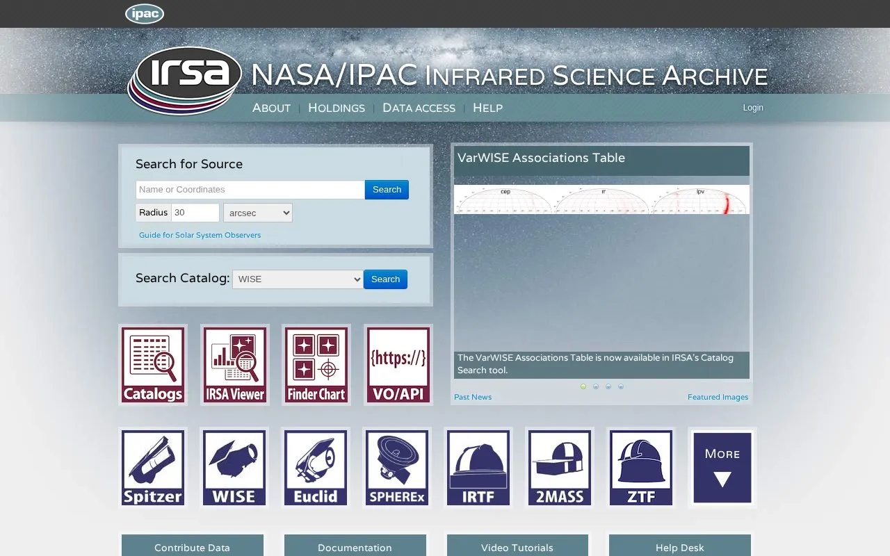
About NASA/IPAC InfraRed Science Archive
IRSA, the NASA/IPAC Infrared Science Archive, is chartered to curate the science products of NASA's infrared and submillimeter missions. It offers access to digital archives through query engines, including VO-compliant interfaces, along with data analysis and visualization tools. The Catalog Search Tool and Data Discovery help find catalog entries and datasets, and the site has guidance on contributing data. Help comes from documentation, video tutorials, notebook tutorials, and a help desk, plus a guide for Solar System observers.
Pricing is not clearly stated.
Key features
- Catalog search for complex queries across IRSA catalogs
- Data Discovery to find datasets covering a search position
- Cutouts that create subimages from original files
- Atlas image and spectrum server
- Guidance on contributing data
- Documentation, video tutorials, notebook tutorials and a help desk
NASA/IPAC InfraRed Science Archive at a glance
- Category
- Research & Data › Open Data & Datasets
- Type
- Website
- Pricing
- Not confirmed. Check the site
- Platforms
- Web
- Details verified
- Oct 21, 2026 · Official source
- Open source
- Not stated
- Last checked
- Oct 5, 2026 · Online when checked
- Listed
- Oct 5, 2026
NASA/IPAC InfraRed Science Archive alternatives
Tools and sites you could use instead, ranked by how closely they match.

The UK National Archives’ Discovery catalog lets visitors search records held by the official government archive.

Yareta lets Geneva higher education institutions search, deposit, and archive research data and publications.

The ESO Science Archive provides an archive home with data access, archive query tools, and direct retrieval of data products.

NASA’s Ozone Mapping and Profiler Suite provides ozone and atmospheric composition products from satellite instruments.

NASA’s Gateway to Astronaut Photography of Earth is provided by the International Space Station program and its Earth Science and Remote Sensing Unit.
Popular in Open Data & Datasets
Well-known listings from the same topic.
data.worlddata.worldNASA APIapi.nasa.govState of Hawaiidata.hawaii.govCosmoSimcosmosim.orgdata.meudon.frdata.meudon.frESS-DIVEess-dive.lbl.gov


NASA/IPAC InfraRed Science Archive FAQ
Which missions or archives are included?
The About page names Euclid, 2MASS, Spitzer, WISE and Planck, along with contributed data products from several astrophysics projects.
Is something wrong or out of date?
Tell us and an editor will check it.
Own this website?
Claim this listing
Claim the listing and suggest updates yourself. An editor checks every claim first.