

Prague’s geoportal provides geographic data and maps, including map applications, open data, map services, and planning resources.
Geoportal Rheinland-Pfalz
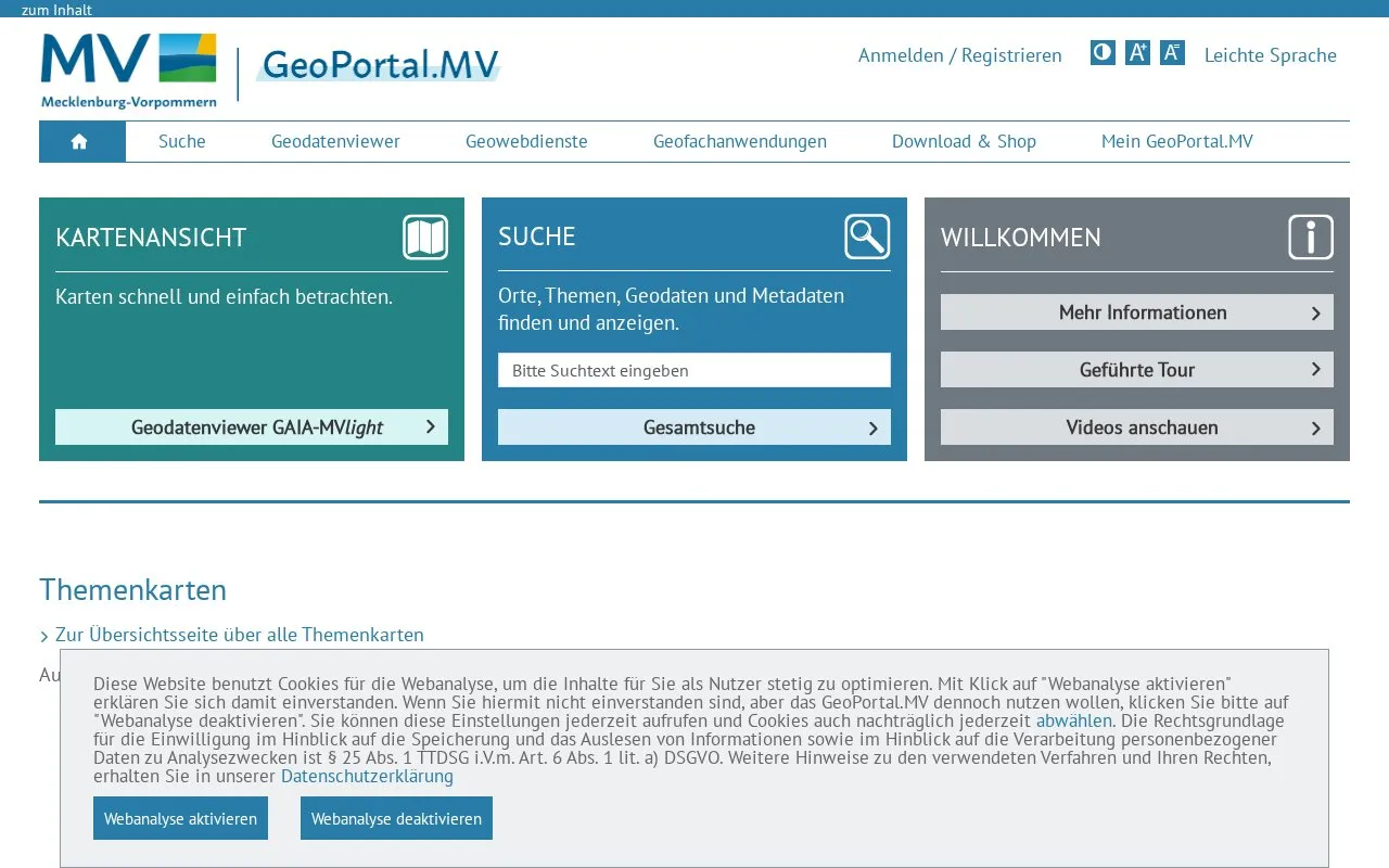
The GeoPortal.MV platform helps users view maps and find places, topics, geodata, and metadata for Mecklenburg-Vorpommern.
About Geoportal Rheinland-Pfalz
GeoPortal.MV is the central geodata platform for the state of Mecklenburg-Vorpommern. It lets users view maps in the GAIA-MVlight viewer and search for places, topics, geodata and metadata.
It provides selected themed map compilations including parcels, aerial imagery, protected areas, forestry and agriculture. Coverage is limited to Mecklenburg-Vorpommern and the interface is in German.
Key features
- View maps with the GAIA-MVlight geodata viewer
- Search places, topics, geodata and metadata
- Display parcel data labelled Flurstücke (ALKIS)
- Display aerial imagery as digital orthophotos
- Show themed maps for protected areas, forestry and agriculture
- Configure individual maps and provide them online in GAIA-MVlight
Best for: People who need maps and geodata for Mecklenburg-Vorpommern.
Good for
- Central access point for state geodata of Mecklenburg-Vorpommern
- Combines map viewing with search for places, geodata and metadata
- Offers accessibility settings including contrast version and large font size
Watch out for
- Coverage is limited to Mecklenburg-Vorpommern
- Interface and content are in German
- Reuse conditions vary by dataset and must be checked in metadata
Geoportal Rheinland-Pfalz at a glance
- Website
- geoportal-mv.de
- Category
- Research & Data › Open Data & Datasets
- Type
- Website
- Pricing
- Not confirmed. Check the site
- Platforms
- Web
- Open source
- Not stated
- Language
- German
- Last checked
- Oct 5, 2026 · Online when checked
- Listed
- Oct 5, 2026
Geoportal Rheinland-Pfalz alternatives
Tools and sites you could use instead, ranked by how closely they match.

Jönköping’s open data page provides reusable municipal statistics, maps, and other materials, including open geodata and map services.
Harmonia Universalis catalogs people, institutions, places, documents, galleries, images, and articles.

GeoPortal RLP provides map layers, datasets, organizations, applications, and thematic categories for Rhineland-Palatinate.
UFZ’s data investigation portal organizes sample, field, logger, file-based archive, and geodata catalog resources.
Bavaria's surveying administration provides free geodata downloads, bulk access, map services, and a gallery.
Popular in Open Data & Datasets
Well-known listings from the same topic.
data.worlddata.worldNASA APIapi.nasa.govCosmoSimcosmosim.orgState of Hawaiidata.hawaii.govdata.meudon.frdata.meudon.frESS-DIVEess-dive.lbl.gov


Is something wrong or out of date?
Tell us and an editor will check it.
Own this website?
Claim this listing
Claim the listing and suggest updates yourself. An editor checks every claim first.