
The São Paulo Legislative Assembly's open data portal lists datasets on legislative activity, representatives, administration, and law.
Open Geodata Portal Bavaria
Bavaria's surveying administration provides free geodata downloads, bulk access, map services, and a gallery.
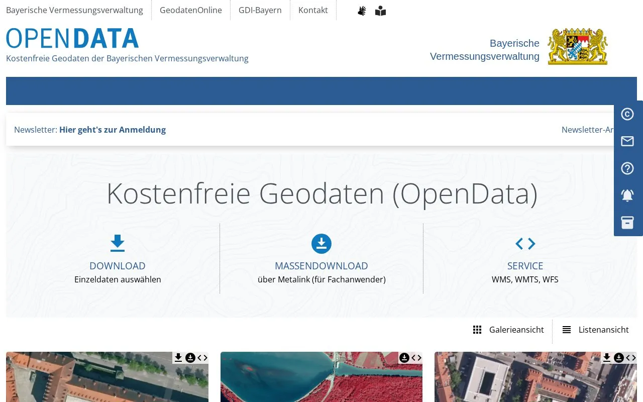
About Open Geodata Portal Bavaria
The Open Geodata Portal Bavaria is run by Bavaria's surveying administration. It offers free geodata (OpenData) for download. Users can select individual datasets, or use bulk download through Metalink, which the page describes as intended for specialist users. The portal also lists map services in WMS, WMTS and WFS formats.
The homepage text is in German. It links to terms of use, but the excerpt does not show their content, so conditions of reuse are not described here. Pricing is not stated and is listed as unknown.
Key features
- Free download of individual geodata sets selected by the user
- Bulk download of datasets via Metalink
- Map services available through WMS, WMTS and WFS interfaces
- Gallery and list views for browsing the available data
Best for: Users who need free geodata from Bavaria, especially specialists who want bulk downloads or access to map services.
Good for
- Geodata is offered free of charge, according to the directory description and homepage
- Provides both single-dataset downloads and bulk access
Watch out for
- The homepage is in German
- Bulk download is described as aimed at specialist users
Open Geodata Portal Bavaria at a glance
- Category
- Research & Data › Open Data & Datasets
- Type
- Website
- Pricing
- Not confirmed. Check the site
- Platforms
- Web
- Open source
- Not stated
- Language
- German
- Last checked
- Oct 6, 2026 · Online when checked
- Listed
- Oct 5, 2026
Open Geodata Portal Bavaria alternatives
Tools and sites you could use instead, ranked by how closely they match.

The GeoPortal.MV platform helps users view maps and find places, topics, geodata, and metadata for Mecklenburg-Vorpommern.
UFZ’s data investigation portal organizes sample, field, logger, file-based archive, and geodata catalog resources.

Jönköping’s open data page provides reusable municipal statistics, maps, and other materials, including open geodata and map services.
Subaru Observatory Astronomical Projects provides downloads for public data from the Subaru Deep Field and Subaru XMM-Newton Deep Survey.

BAMF’s research data center provides migration and integration data for research, including register and survey data.
Popular in Open Data & Datasets
Well-known listings from the same topic.
data.worlddata.worldNASA APIapi.nasa.govCosmoSimcosmosim.orgdata.meudon.frdata.meudon.frESS-DIVEess-dive.lbl.govState of Hawaiidata.hawaii.gov


Open Geodata Portal Bavaria FAQ
Is the geodata free to download?
The homepage describes the geodata as kostenfrei, meaning free of charge.
What is the bulk download for?
The homepage links bulk download via Metalink and describes it as intended for specialist users (Fachanwender).
Which map service interfaces are offered?
The homepage lists WMS, WMTS and WFS services.
Is something wrong or out of date?
Tell us and an editor will check it.
Own this website?
Claim this listing
Claim the listing and suggest updates yourself. An editor checks every claim first.