

The Martha’s Vineyard Coastal Observatory shares current conditions and downloadable wave, temperature, pressure, wind, and tide data.
DroughtCentral
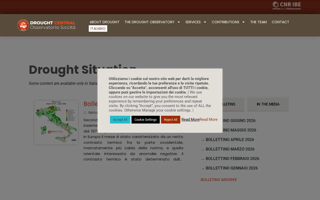
Drought Central is a drought observatory from CNR IBE, with updates on drought conditions and reports based on Copernicus data.
About DroughtCentral
DroughtCentral is a drought observatory run by CNR IBE. It publishes drought condition updates and monthly bulletins based on Copernicus data. The bulletins cover temperature and rainfall patterns, river flows, large lake levels, reservoir levels, and seasonal forecasts, with a focus on Europe and Italy. The site also hosts a Drought WebGIS for mapping and comparing drought indices, and the Drought Scan, an operational climate service for drought assessment at river-basin scale.
Some content is available only in Italian. The Drought WebGIS notes that the TCI and VHI vegetation indices are available only until 9 November 2022, because of problems with the Terra MODIS satellite.
Key features
- Monthly drought bulletins based on Copernicus data, with an archive of past issues
- Drought WebGIS for sharing maps and graphs of drought indices
- Selection of territory sections and trend view for a specific pixel
- Download of maps and graphs in PNG format
- Drought Scan service for drought assessment at river-basin scale
Best for: Researchers, technicians, irrigation consortia and water authorities who need drought monitoring and assessment for Italy and Europe.
Good for
- Bulletins are based on Copernicus data.
- The WebGIS lets users share maps and graphs of drought indices with researchers, decision-makers and other stakeholders.
- The Drought Scan is described as using tools that are easy to use yet scientifically robust.
Watch out for
- Some content is available only in Italian.
- The TCI and VHI vegetation indices in the Drought WebGIS are available only until 9 November 2022.
- Due to image size, some vegetation index downloads cover only part of the full geographic window.
DroughtCentral at a glance
- Website
- droughtcentral.it/en
- Category
- Research & Data › Open Data & Datasets
- Type
- Website
- Pricing
- Not confirmed. Check the site
- Platforms
- Web
- Open source
- Not stated
- Language
- English
- Last checked
- Oct 6, 2026 · Online when checked
- Listed
- Oct 5, 2026
DroughtCentral alternatives
Tools and sites you could use instead, ranked by how closely they match.

Hong Kong’s open data platform provides datasets for free reuse under the platform’s terms and conditions.
Free
24 alternativesThe Italian Senate Data Portal offers direct access to Senate data, with options to download or query datasets and subscribe to updates.
Robert Kurucz's site provides public access to data and research programs, with corrections and updates to files.

IFREMER-SISMER's marine data portal features data search, recent updates, and information about ocean observation initiatives.

CityScale maps living conditions in Ukraine, including housing costs, utilities, ecology, crime, transport and infrastructure.
Popular in Open Data & Datasets
Well-known listings from the same topic.
data.worlddata.worldNASA APIapi.nasa.govState of Hawaiidata.hawaii.govCosmoSimcosmosim.orgdata.meudon.frdata.meudon.frESS-DIVEess-dive.lbl.gov


DroughtCentral FAQ
What data do the drought bulletins use?
The bulletins are based on Copernicus data, according to the July 2026 bulletin on the homepage.
Is all of the site available in English?
No. The site states that some content is available only in Italian.
Why might a vegetation index download cover only part of an area?
Due to the size of the images, downloads of vegetation index sections can be smaller than the whole geographic window.
Is something wrong or out of date?
Tell us and an editor will check it.
Own this website?
Claim this listing
Claim the listing and suggest updates yourself. An editor checks every claim first.