
The WHOI Argo program provides float data, deployment information, station status, and maps of global Argo coverage.
Global Multi-Resolution Topography Data Portal
The Global Multi-Resolution Topography synthesis provides elevation data, with tools to create custom maps and grids.
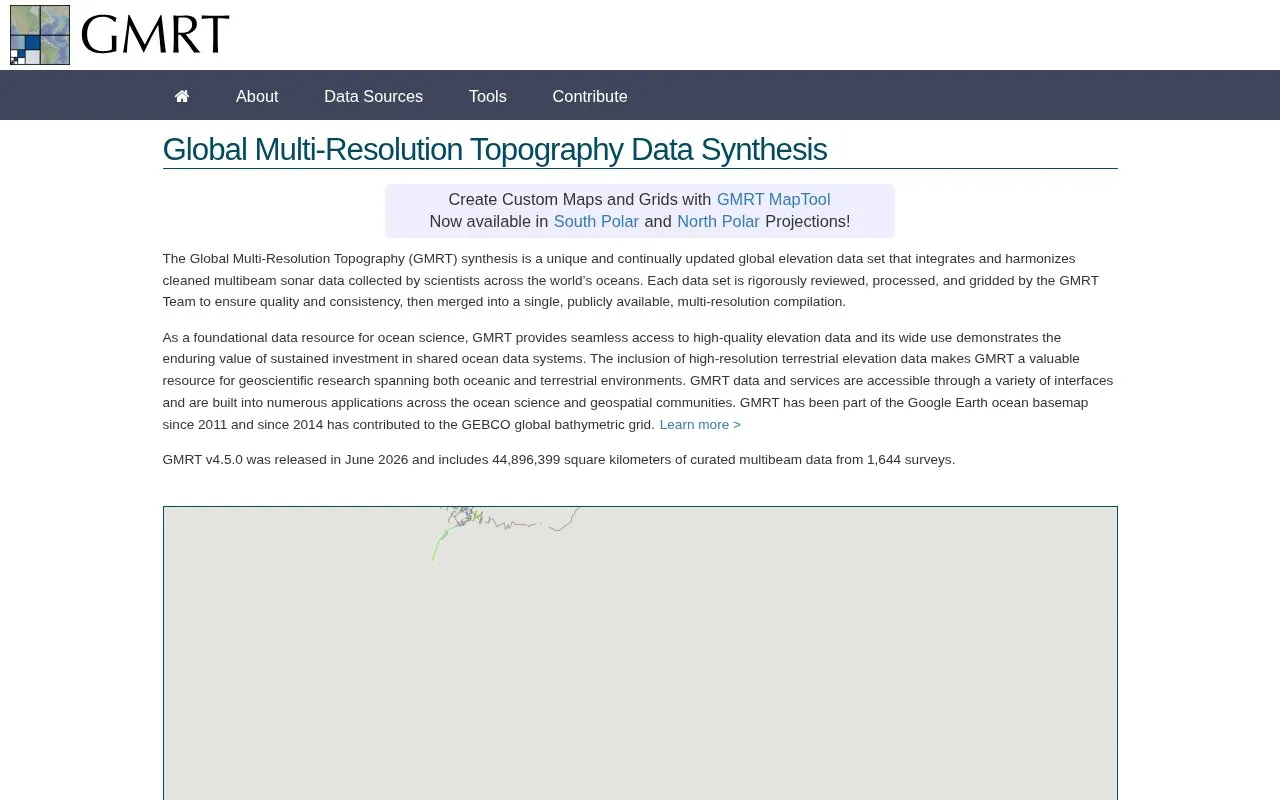
About Global Multi-Resolution Topography Data Portal
The Global Multi-Resolution Topography (GMRT) synthesis is a continually updated, publicly available global elevation dataset that integrates cleaned multibeam sonar data from worldwide ocean surveys and high-resolution terrestrial elevation data. All data is rigorously reviewed, processed, and gridded by the GMRT Team to ensure quality and consistency. Users can create custom maps and grids via the GMRT MapTool, or access data through web services for programmatic use. The dataset supports standard and polar map projections, and has been part of the Google Earth ocean basemap since 2011 and the GEBCO global bathymetric grid since 2014. The project is hosted at the Lamont-Doherty Earth Observatory of Columbia University, funded by the US National Science Foundation, and its site content is licensed under Creative Commons Attribution 4.0 International.
Key features
- Integrated global oceanic multibeam sonar elevation data
- Included high-resolution terrestrial elevation data
- GMRT MapTool for creating custom maps and grids
- Web services for programmatic data access
- Supports South Polar and North Polar map projections
- Continuously updated public multi-resolution elevation compilation
Best for: Geoscientific researchers and professionals working with global oceanic and terrestrial elevation data benefit most.
Good for
- Rigorously reviewed, processed, and quality-checked data
- Continuously updated with new multibeam survey data
- Integrated into widely used geospatial platforms like Google Earth and GEBCO
Watch out for
- Not open source, with no public code repository available
- Public pricing information is not provided
Global Multi-Resolution Topography Data Portal at a glance
- Website
- gmrt.org
- Category
- Research & Data › Geographic & Mapping Data
- Type
- Website
- Pricing
- Not confirmed. Check the site
- Platforms
- Web
- Open source
- Not stated
- Last checked
- Oct 6, 2026 · Online when checked
- Listed
- Oct 5, 2026
Global Multi-Resolution Topography Data Portal alternatives
Tools and sites you could use instead, ranked by how closely they match.
Amsterdam's Maps Data portal lists municipal maps and geospatial records, including planning, buildings, and land use information.
Mississippi's geospatial catalog supports data downloads, mapping services, charts, thematic maps, and web mapping tools.

Explore freely accessible North Sea maps, campaign data, and oceanographic model results through coastMap, Hereon's marine geoportal.

GeoGratis provides free search, discovery, and downloads for maps, cartographic data, imagery, and publications.
Kilgore's GIS Hub supports discovering, analyzing, and downloading local data, with map services and tools for creating web maps.
Popular in Geographic & Mapping Data
Well-known listings from the same topic.
EUDR Toolseudrtools.comNew Mexico RGISrgis.unm.eduIUBio-Archiveiubioarchive.bio.netCottonGencottongen.orgBacMapbacmap.wishartlab.comEBRAINSebrains.eu



Global Multi-Resolution Topography Data Portal FAQ
What data is included in the GMRT synthesis?
Global multi-resolution elevation data, combining oceanic multibeam sonar and terrestrial elevation data.
How can users access GMRT data?
Via the GMRT MapTool for custom maps and grids, or web services for programmatic access.
Which organizations support the GMRT project?
Hosted by the Lamont-Doherty Earth Observatory of Columbia University, funded by the US National Science Foundation.
Is something wrong or out of date?
Tell us and an editor will check it.
Own this website?
Claim this listing
Claim the listing and suggest updates yourself. An editor checks every claim first.