

The Analytical Geomagnetic Data Center provides observatory data and offers downloads, plots, and satellite records.
WV State GIS Data Clearinghouse
The West Virginia GIS Technical Center provides statewide mapping services, data resources, and the State Data Clearinghouse.
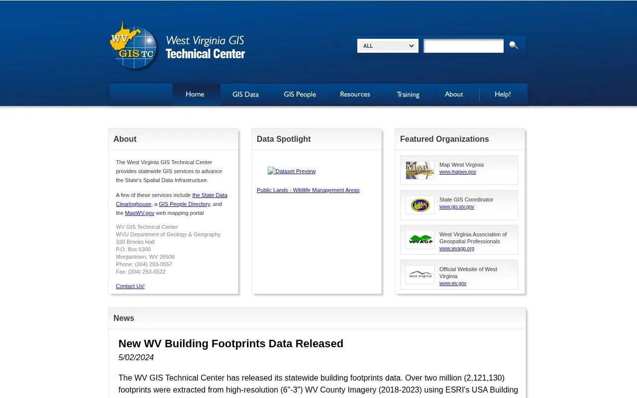
About WV State GIS Data Clearinghouse
This is the website of the West Virginia GIS Technical Center, based at West Virginia University's Department of Geology & Geography in Morgantown. The Center provides statewide GIS services intended to advance the state's Spatial Data Infrastructure. Named services include the State Data Clearinghouse, a GIS People Directory, and the MapWV.gov web mapping portal. Recent news items cover a statewide building footprints dataset and a public voting map launched with the Secretary of State's Office for the 2024 election. The source does not state pricing, and it does not describe data licensing or access terms.
Key features
- State Data Clearinghouse for West Virginia GIS data resources
- GIS People Directory for locating state GIS contacts
- MapWV.gov web mapping portal for statewide maps
- Statewide building footprints dataset of 2,121,130 footprints, released May 2024
- Public voting map showing early voting and polling sites during the 2024 election
Best for: People who need West Virginia statewide geographic data, online mapping, or GIS contacts in the state.
Good for
- Provides services at the statewide level for West Virginia
- Offers a publicly accessible web mapping application
Watch out for
- The 2024 voting map was limited to specific dates in May 2024
WV State GIS Data Clearinghouse at a glance
- Website
- wvgis.wvu.edu
- Category
- Research & Data › Geographic & Mapping Data
- Type
- Website
- Pricing
- Not confirmed. Check the site
- Platforms
- Web
- Open source
- Not stated
- Language
- English
- Last checked
- Oct 6, 2026 · Online when checked
- Listed
- Oct 5, 2026
WV State GIS Data Clearinghouse alternatives
Tools and sites you could use instead, ranked by how closely they match.

The Alternative Fuels Data Center provides information about transportation fuels and vehicle technologies.

New Mexico RGIS provides a data portal, GIS resources, and an image archive for the state.
Wyoming's Geospatial Hub is the state's primary site for discovering and accessing publicly available geospatial data.
The California State Geoportal lets visitors discover and download geographic data in CSV, KML, GeoJSON and other formats.
Tennessee’s geospatial data portal lets visitors search, preview, and download geographic data from state agencies.
Popular in Geographic & Mapping Data
Well-known listings from the same topic.
EUDR Toolseudrtools.comIUBio-Archiveiubioarchive.bio.netCottonGencottongen.orgBacMapbacmap.wishartlab.comEBRAINSebrains.euWorld Data Centre for Greenhouse Gasesgaw.kishou.go.jp



WV State GIS Data Clearinghouse FAQ
Where is the West Virginia GIS Technical Center located?
It is located at 330 Brooks Hall, P.O. Box 6300, Morgantown, WV 26506. The listed phone number is (304) 293-0557.
What did the statewide building footprints release include?
The release included over two million (2,121,130) footprints extracted from high-resolution West Virginia county imagery from 2018 to 2023, using ESRI's USA Building Footprints deep-learning package.
Is something wrong or out of date?
Tell us and an editor will check it.
Own this website?
Claim this listing
Claim the listing and suggest updates yourself. An editor checks every claim first.