

GeotIS provides free information on geothermal energy in Germany, including research data and mapping services.
GERDA is Denmark's national geophysical database, with data from groundwater mapping, well exploration, and geophysical surveys.
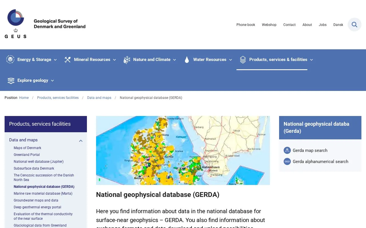
About GERDA
GERDA is Denmark's national geophysical database. It holds surface-near geophysical data from groundwater mapping, well exploration, and geophysical surveys. The homepage describes information about the data in the database, information about exchange formats, and options to download and upload data.
The source does not state who may use the database, any fees or access conditions, or how the data is licensed.
Key features
- Access to surface-near geophysical data held in the national database
- Information about data in the database
- Information about data exchange formats
- Data download options
- Data upload options
Best for: People who need Danish surface-near geophysical data, such as groundwater mapping or well exploration records.
Good for
- Centralises national surface-near geophysical data for Denmark in one database
GERDA at a glance
- Category
- Research & Data › Geographic & Mapping Data
- Type
- Website
- Pricing
- Not confirmed. Check the site
- Platforms
- Web
- Open source
- Not stated
- Language
- English
- Last checked
- Oct 6, 2026 · Online when checked
- Listed
- Oct 5, 2026
GERDA alternatives
Tools and sites you could use instead, ranked by how closely they match.
The Wadi Abu Dom WebGIS presents raw data from the Wadi Abu Dom Itinerary survey project to the public.
Port Moody's ArcGIS Hub supports discovering, analyzing, and downloading municipal data with mapping and API tools.
Mississippi's geospatial catalog supports data downloads, mapping services, charts, thematic maps, and web mapping tools.
Download Arkansas geospatial data in CSV, KML, GeoJSON, GeoTIFF, and other formats, or use its mapping service APIs.
Montana's Fish, Wildlife and Parks ArcGIS Hub supports discovering, analyzing, and downloading data with mapping and API tools.
Popular in Geographic & Mapping Data
Well-known listings from the same topic.
EUDR Toolseudrtools.comNew Mexico RGISrgis.unm.eduIUBio-Archiveiubioarchive.bio.netCottonGencottongen.orgBacMapbacmap.wishartlab.comEBRAINSebrains.eu



GERDA FAQ
What types of data are included in GERDA?
The database includes data from groundwater mapping, well exploration, and geophysical surveys.
Can users upload data to GERDA?
The homepage describes data upload possibilities. The source does not give details on who may upload or how the process works.
Is something wrong or out of date?
Tell us and an editor will check it.
Own this website?
Claim this listing
Claim the listing and suggest updates yourself. An editor checks every claim first.