
GERDA is Denmark's national geophysical database, with data from groundwater mapping, well exploration, and geophysical surveys.
W.A.D.I. Wadi Abu Dom Investigations
The Wadi Abu Dom WebGIS presents raw data from the Wadi Abu Dom Itinerary survey project to the public.
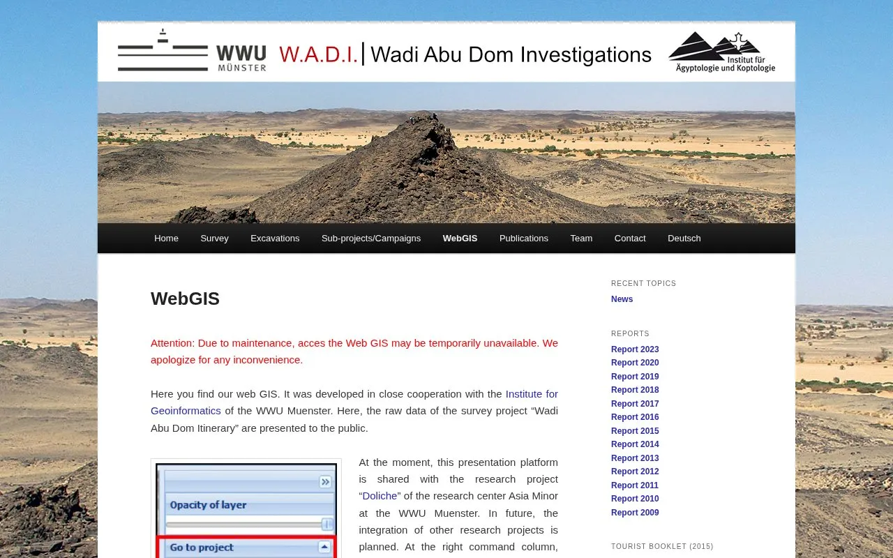
About W.A.D.I. Wadi Abu Dom Investigations
The Wadi Abu Dom WebGIS presents raw data from the Wadi Abu Dom Itinerary survey project to the public. Users can browse point records under “features” and larger areas under “sites,” select archaeological categories alone or together, and click map symbols for additional information and, for selected features, pictures.
The platform is shared with the Doliche research project, offers background maps such as Open Street Map or Google Earth, and accepts GPX or KML uploads for temporary comparison. Access may be temporarily unavailable during maintenance, and the large data volume can require significant computer and network resources.
Key features
- Display raw survey data from Wadi Abu Dom Itinerary project
- Switch between Wadi Abu Dom and Doliche projects via menu
- Toggle archaeological categories alone or in combination
- Show OpenStreetMap or Google Earth background maps
- Click map symbols for details and selected pictures
- Upload GPX or KML files for temporary private comparison
Best for: People who want to view or compare archaeological survey records from the Wadi Abu Dom region.
Good for
- Makes raw Wadi Abu Dom Itinerary survey data publicly viewable
- Shows background maps such as Open Street Map or Google Earth
- Displays detailed ground plans for the site of Umm Ruweim
Watch out for
- May be temporarily unavailable due to maintenance
- Can consume significant computational and network resources
- May stop responding or display incorrectly, requiring a refresh
W.A.D.I. Wadi Abu Dom Investigations at a glance
- Website
- en.wadi-abu-dom.de/webgis
- Category
- Research & Data › Geographic & Mapping Data
- Type
- Website
- Pricing
- Not confirmed. Check the site
- Platforms
- Web
- Open source
- Not stated
- Language
- English
- Last checked
- Oct 5, 2026 · Online when checked
- Listed
- Oct 5, 2026
W.A.D.I. Wadi Abu Dom Investigations alternatives
Tools and sites you could use instead, ranked by how closely they match.
Popular in Geographic & Mapping Data
Well-known listings from the same topic.
EUDR Toolseudrtools.comNew Mexico RGISrgis.unm.eduIUBio-Archiveiubioarchive.bio.netCottonGencottongen.orgBacMapbacmap.wishartlab.comEBRAINSebrains.eu



W.A.D.I. Wadi Abu Dom Investigations FAQ
What can I do if the map does not respond or displays incorrectly?
Use the refresh button to reload the application. If problems continue, contact [email protected].
Can I add my own data to the map?
Yes, you can upload GPX or KML files for temporary private comparison. The site states these files are not stored permanently.
How do I see information about a record?
Click a symbol on the map to open a window with additional information. Pictures are shown for selected features.
Is something wrong or out of date?
Tell us and an editor will check it.
Own this website?
Claim this listing
Claim the listing and suggest updates yourself. An editor checks every claim first.