

GERDA is Denmark's national geophysical database, with data from groundwater mapping, well exploration, and geophysical surveys.
Geothermal Information System
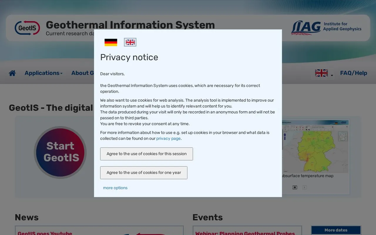
GeotIS provides free information on geothermal energy in Germany, including research data and mapping services.
About Geothermal Information System
GeotIS is a freely accessible information system about geothermal energy in Germany, run by the LIAG Institute for Applied Geophysics. It provides research data, maps and tools to investigate geothermal potential by region, including subsurface temperature, geothermal probes and deep geothermal energy.
It also shows drilling and seismic data, subsurface sections, geothermal site overviews and usage statistics for Germany, along with publications and e-learning materials. Its subsurface models are based on data from several decades of geoscientific investigations and are regularly updated.
Key features
- Subsurface temperature maps of Germany
- Potential maps for geothermal probes and deep geothermal energy
- Drilling, seismic, and subsurface section data
- Overview maps and statistics for geothermal sites in Germany
- Web Mapping Service (WMS) for geothermal data
- E-learning videos and modules about geothermal energy
Best for: People investigating geothermal potential, sites, or research data in Germany.
Good for
- Freely accessible information system
- Uses decades of geoscientific data with regular updates
- Combines maps, site statistics, publications and learning materials
Watch out for
- Data and maps cover Germany only
Geothermal Information System at a glance
- Category
- Research & Data › Geographic & Mapping Data
- Type
- Website
- Pricing
- Not confirmed. Check the site
- Platforms
- Web
- Open source
- Not stated
- Language
- English
- Last checked
- Oct 5, 2026 · Online when checked
- Listed
- Oct 5, 2026
Geothermal Information System alternatives
Tools and sites you could use instead, ranked by how closely they match.

EBRAINS provides data, tools, and services for brain research across molecular, cellular, and whole-organ levels.

CottonGen provides genomic, genetic, and breeding resources for cotton research and crop improvement, with research data and training materials.
Port Moody's ArcGIS Hub supports discovering, analyzing, and downloading municipal data with mapping and API tools.

The West Virginia GIS Technical Center provides statewide mapping services, data resources, and the State Data Clearinghouse.
NC OneMap provides North Carolina geospatial data and services for searching, analysis, mapping, and application development.
Popular in Geographic & Mapping Data
Well-known listings from the same topic.
EUDR Toolseudrtools.comNew Mexico RGISrgis.unm.eduIUBio-Archiveiubioarchive.bio.netBacMapbacmap.wishartlab.comWorld Data Centre for Greenhouse Gasesgaw.kishou.go.jpAlternative Fuels Data Centerafdc.energy.gov



Is something wrong or out of date?
Tell us and an editor will check it.
Own this website?
Claim this listing
Claim the listing and suggest updates yourself. An editor checks every claim first.