

TERN monitors terrestrial ecosystems in Australia and provides model-ready data for research.
Dataset
eAtlas shares environmental research, maps, and data for tropical Australia, including guidance for managing restricted research datasets.
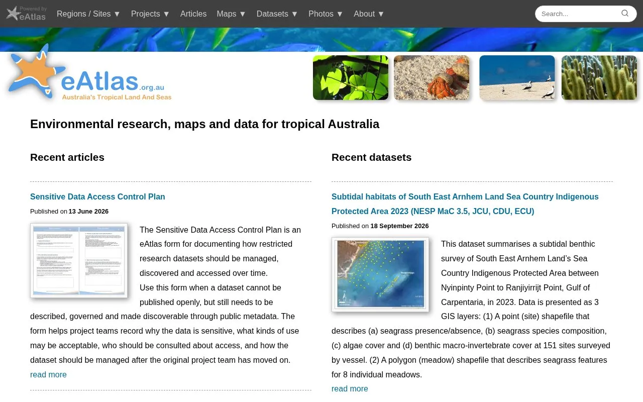
eAtlas publishes environmental research, maps and data for tropical Australia. Its recent content includes articles on marine surveys, satellite imagery, and drone surveys of the Norfolk Island coastline, along with a set of seagrass and benthic survey datasets from the Torres Strait and Arnhem Land.
The site also offers guidance for restricted research datasets. The Sensitive Data Access Control Plan is a form for recording why a dataset is sensitive, what uses may be acceptable, who should be consulted about access, and how the data should be managed after the original project team has finished. Datasets that cannot be published openly can still be described through public metadata.
Other listings in Open Data in Australia with the most in common.
TERN monitors terrestrial ecosystems in Australia and provides model-ready data for research.
Brisbane City Council shares open data for public reuse and accepts requests for new datasets.
Data.NSW brings together government data, policies, tools, and resources, including an open data portal and decision-making guidance.
Transport for NSW’s open data hub provides a data catalog, APIs, geospatial files, interactive maps, and transport insights.
Search Australian social science research datasets in the ADA Dataverse or share a dataset with the archive.
Explore open-access biodiversity data from Australia through the Atlas of Living Australia.
Well-known listings from the same topic.
Tell us and an editor will check it.
Claim the listing and suggest updates yourself. An editor checks every claim first.


