
The Minnesota Geospatial Commons is a collaborative space for people who use and publish the state's geospatial resources.
Global Precipitation Measurement
NASA's GPM mission uses an international satellite network to observe rain and snow around the world.
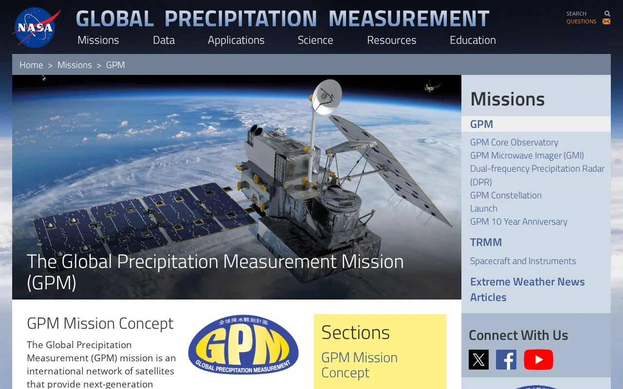
About Global Precipitation Measurement
The Global Precipitation Measurement (GPM) mission is an international satellite network led by NASA and the Japan Aerospace Exploration Agency (JAXA) that provides next-generation global observations of rain and snow. Its core is a 2014-launched Core Observatory satellite carrying a dual-frequency precipitation radar and microwave imager, which serves as a reference standard to unify precipitation measurements from a constellation of research and operational partner satellites. Building on the earlier Tropical Rainfall Measuring Mission (TRMM), GPM extends coverage to higher latitudes and adds the ability to measure light rain and solid precipitation. The mission’s data supports research into Earth’s water and energy cycles, improves forecasting of extreme weather events that cause natural hazards, and delivers accurate, timely precipitation information for societal benefit.
Key features
- International satellite constellation for global rain and snow observation
- Core Observatory with dual-frequency precipitation radar and microwave imager
- Serves as reference standard for unified constellation precipitation measurements
- Measures light rain (
- Provides 3D measurements of precipitation structure via dual-frequency radar
- Extends TRMM coverage to higher latitudes for near-global observation
Best for: The mission primarily benefits Earth science researchers, meteorologists, and entities that require accurate global precipitation data for hazard forecasting, water resource management, and related applications.
Good for
- Extends precipitation measurement coverage to higher latitudes beyond TRMM's tropical focus
- Adds sensitivity to light rain and snowfall, which TRMM could not measure effectively
- Provides a unified reference standard for precipitation data from international partner satellites
Global Precipitation Measurement at a glance
- Website
- gpm.nasa.gov/missions/GPM
- Category
- Research & Data › Geographic & Mapping Data
- Type
- Website
- Pricing
- Not confirmed. Check the site
- Platforms
- Web
- Open source
- Not stated
- Language
- English
- Last checked
- Oct 6, 2026 · Online when checked
- Listed
- Oct 5, 2026
Global Precipitation Measurement alternatives
Tools and sites you could use instead, ranked by how closely they match.
Popular in Geographic & Mapping Data
Well-known listings from the same topic.
EUDR Toolseudrtools.comNew Mexico RGISrgis.unm.eduIUBio-Archiveiubioarchive.bio.netCottonGencottongen.orgBacMapbacmap.wishartlab.comEBRAINSebrains.eu



Global Precipitation Measurement FAQ
What is the primary purpose of the GPM mission?
To provide next-generation global observations of rain and snow via an international satellite network.
What instruments does the GPM Core Observatory carry?
A Ku/Ka-band dual-frequency precipitation radar and a multi-channel GPM Microwave Imager.
When and where was the GPM Core Observatory launched?
It launched on February 27, 2014 at 1:37pm EST from Tanegashima Space Center, Japan.
Is something wrong or out of date?
Tell us and an editor will check it.
Own this website?
Claim this listing
Claim the listing and suggest updates yourself. An editor checks every claim first.