

Olofström explains how municipal digital information can be reused freely, including for developing mobile applications.
Härryda Municipality Open Data portal
Härryda Municipality describes open data as freely available digital information and explains its potential civic uses.
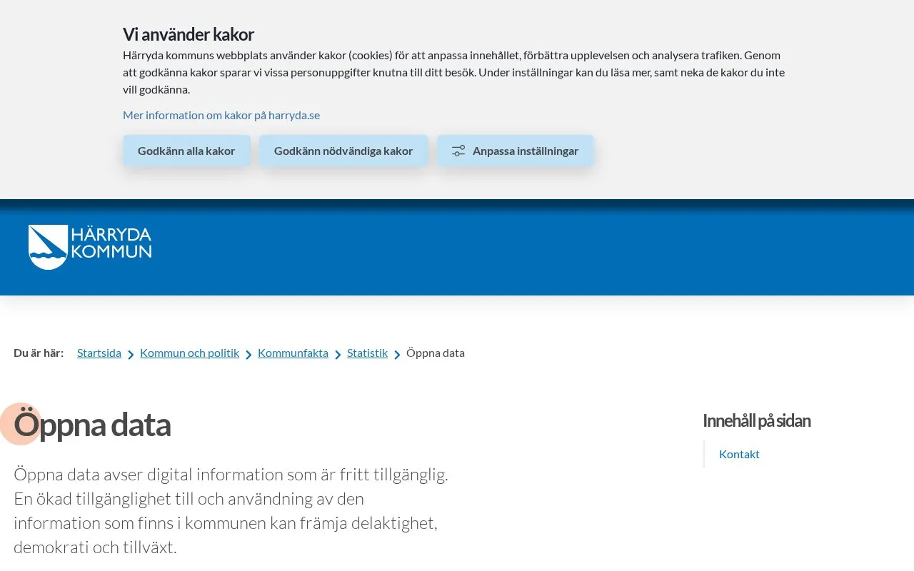
About Härryda Municipality Open Data portal
This page, published by Härryda Municipality in Sweden, explains what open data is. It defines open data as digital information that is freely available. It states that greater access to and use of information held by the municipality may support participation, democracy and growth.
The homepage excerpt does not list specific datasets, file formats, licences or download options, so this entry cannot confirm what data is published. The page is in Swedish and offers a contact email address and a feedback form for comments on the page. It was last changed on 15 April 2026.
Key features
- Explains open data and its possible civic uses
- Contact centre email address for questions
- Feedback form asking whether the page can be improved
- Page shows a last changed date of 15 April 2026
Best for: Residents and others who want to understand Härryda Municipality's approach to open data.
Good for
- Provides a direct contact email and contact centre for questions
Härryda Municipality Open Data portal at a glance
- Website
- harryda.se/psidata
- Category
- Research & Data › Open Data & Datasets
- Type
- Website
- Pricing
- Not confirmed. Check the site
- Platforms
- Web
- Open source
- Not stated
- Language
- Swedish
- Last checked
- Oct 6, 2026 · Online when checked
- Listed
- Oct 5, 2026
Härryda Municipality Open Data portal alternatives
Tools and sites you could use instead, ranked by how closely they match.

Nacka Municipality’s open data page explains how to use public data from the municipality.
Browse atomic data on ionization potentials, energy levels, spectra, and particle collisions in CAMDB.
The @unitedstates project maintains shared civic data and tools for working with US government information.

The Ocean Observatories Initiative provides freely available real-time ocean data from more than 900 instruments for scientific research.

DISS maps tectonic, fault, and paleoseismological information for assessing seismic hazard, including potential earthquake sources in Italy and nearby areas.
Popular in Open Data & Datasets
Well-known listings from the same topic.
data.worlddata.worldNASA APIapi.nasa.govState of Hawaiidata.hawaii.govCosmoSimcosmosim.orgdata.meudon.frdata.meudon.frESS-DIVEess-dive.lbl.gov


Is something wrong or out of date?
Tell us and an editor will check it.
Own this website?
Claim this listing
Claim the listing and suggest updates yourself. An editor checks every claim first.