

Nanaimo’s maps and data page links to city map applications and an open data catalog for downloadable GIS data.
Dataset
Canada’s historical climate data site provides past weather, climate normals, radar, averages, extremes, and engineering climate data.
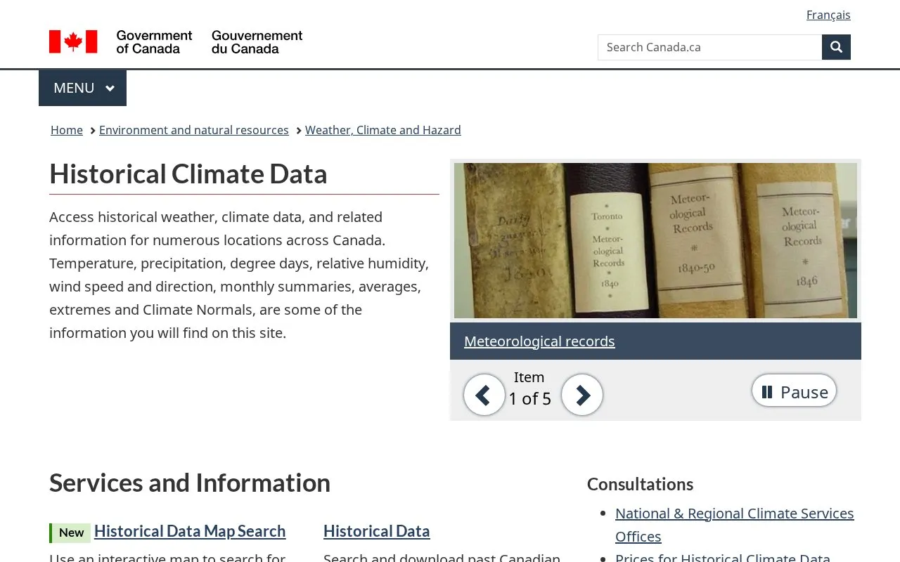
Historical Climate Data Canada provides historical weather and climate information for numerous locations across Canada. Users can search and download hourly, daily, and monthly data, including temperature, precipitation, snow, wind speed and direction, relative humidity, visibility, humidex, wind chill, and heating and cooling degree days.
The site also provides historical radar images, Canadian Climate Normals tables, monthly climate summaries, station almanac averages and extremes, and engineering datasets including IDF Curves, CWEEDS and CWEC files.
Other listings in Open Data in Canada with the most in common.
Nanaimo’s maps and data page links to city map applications and an open data catalog for downloadable GIS data.
Alberta’s Open Government portal shares public information and data as part of the province’s transparency program.
Canadian Climate Data and Scenarios provides climate-model data and scenario resources for Canada.
Canada’s National Soil Database archives geospatial soil, landscape, and climate datasets collected through surveys and land-data projects.
ClimateData.ca provides climate data and resources to help Canadians make decisions in a changing climate, with maps, downloads, and a learning zone.
The Government of Canada portal helps users search government datasets and learn how to use or reuse the data.
Well-known listings from the same topic.
Tell us and an editor will check it.
Claim the listing and suggest updates yourself. An editor checks every claim first.


