

Canada’s historical climate data site provides past weather, climate normals, radar, averages, extremes, and engineering climate data.
Dataset
Nanaimo’s maps and data page links to city map applications and an open data catalog for downloadable GIS data.
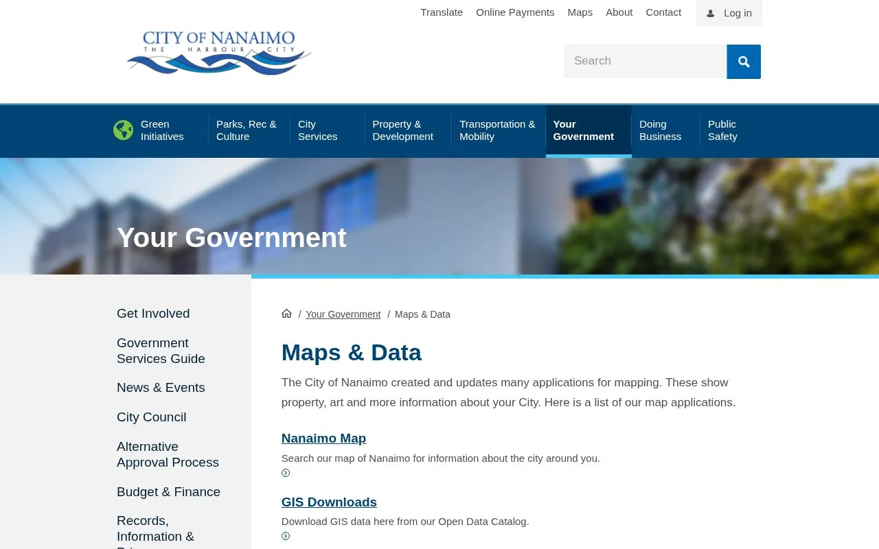
The City of Nanaimo's Maps & Data page links to city map applications and an Open Data Catalog with downloadable GIS data. Maps cover property information, building permits and rezoning applications, parks, public art, real-time fire and rescue responses, and traffic closures from Waze. Users can also subscribe for email updates about permits in their neighbourhood. Coverage is limited to Nanaimo. Data from the catalog is described for use in own projects, and users who cannot find a specific dataset are directed to contact the City.
Other listings in Open Data in Canada with the most in common.
Canada’s historical climate data site provides past weather, climate normals, radar, averages, extremes, and engineering climate data.
Red Deer's open data catalog lists city datasets and APIs, including records on permits, addresses, roads, parks, and services.
Vancouver’s open-data portal lets users view and download city datasets, explore maps and charts, and access data by API.
ClimateData.ca provides climate data and resources to help Canadians make decisions in a changing climate, with maps, downloads, and a learning zone.
NatureCounts supports bird monitoring with species maps, project resources, and data download options.
York Region’s public open data platform lets visitors explore and download datasets, build applications, and combine data on maps.
Well-known listings from the same topic.
Tell us and an editor will check it.
Claim the listing and suggest updates yourself. An editor checks every claim first.


