NatureCounts supports bird monitoring with species maps, project resources, and data download options.
Dataset
The Groundwater Information Network connects authoritative information on wells, groundwater monitoring, aquifers, geology maps, and related publications.
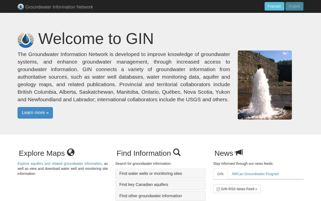
The Groundwater Information Network connects groundwater information from authoritative sources to support knowledge of groundwater systems and management. It includes water well databases, monitoring data, aquifer and geology maps, and related publications.
Users can explore maps, view and download well and monitoring site information, look up sites by ID, and find Canadian aquifers, themed datasets, and publications. Coverage reflects its listed collaborators: British Columbia, Alberta, Saskatchewan, Manitoba, Ontario, Québec, Nova Scotia, Yukon and Newfoundland and Labrador, with international collaboration including the USGS.
Other listings in Open Data in Canada with the most in common.
NatureCounts supports bird monitoring with species maps, project resources, and data download options.
The Canadian Research Data Centre Network provides access to datasets through its research data centers.
The City of Toronto’s official open data portal provides datasets, visualizations, data stories, and related information.
Nanaimo’s maps and data page links to city map applications and an open data catalog for downloadable GIS data.
ClimateData.ca provides climate data and resources to help Canadians make decisions in a changing climate, with maps, downloads, and a learning zone.
York Region’s public open data platform lets visitors explore and download datasets, build applications, and combine data on maps.
Well-known listings from the same topic.
Tell us and an editor will check it.
Claim the listing and suggest updates yourself. An editor checks every claim first.


