JPL Multi-angle Imaging SpectroRadiometer
NASA’s Multi-angle Imaging SpectroRadiometer page presents instrument news and information about its Earth observation projects.
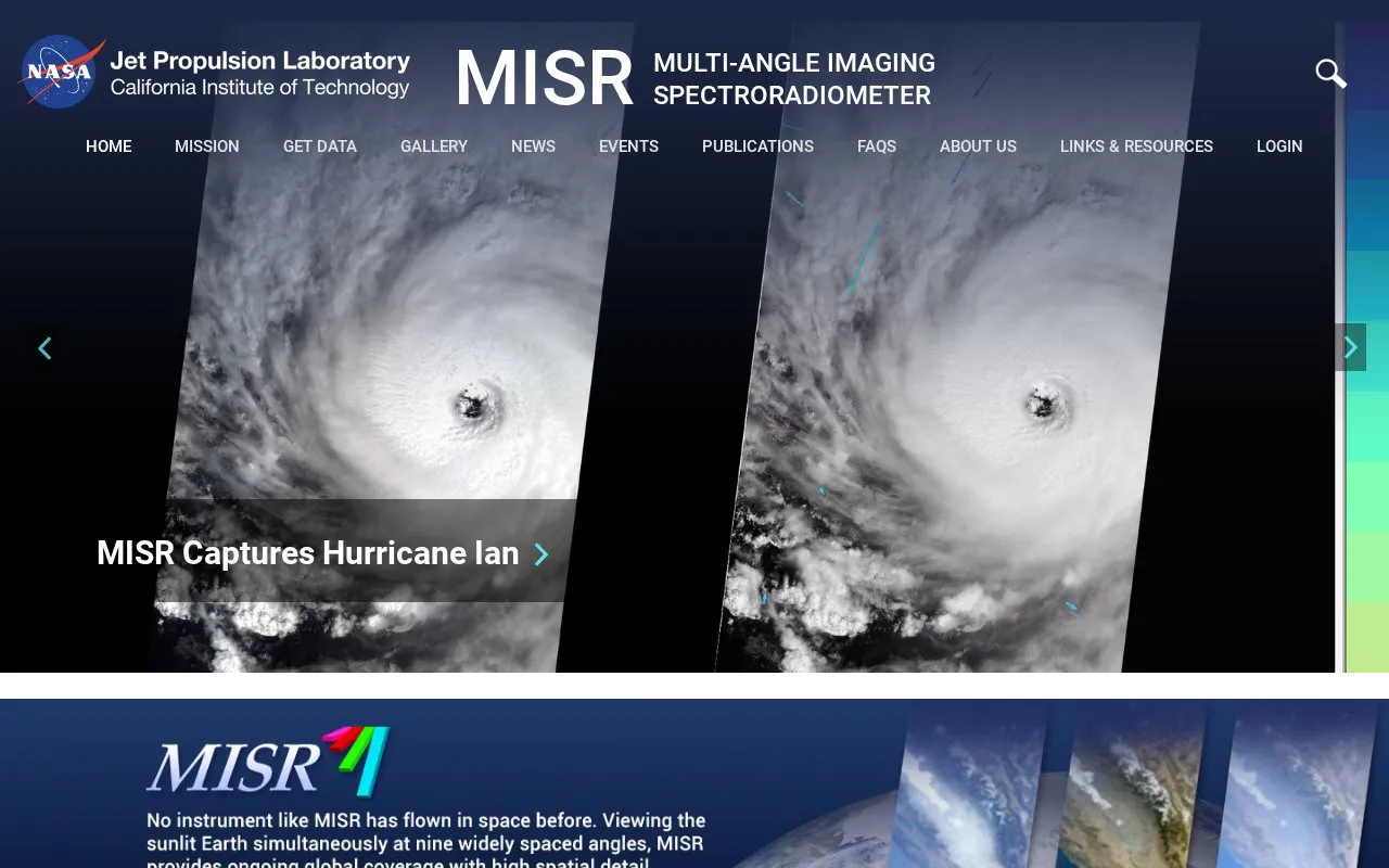
About JPL Multi-angle Imaging SpectroRadiometer
This is the MISR home page for the Multi-angle Imaging SpectroRadiometer, an instrument onboard NASA's Terra satellite. The page header names NASA's Jet Propulsion Laboratory and the California Institute of Technology. It shares instrument news, including stories on hurricanes, California wildfires tracked from space and air, and new Arctic Ocean ice roughness maps. It works mainly as a news and information page about the instrument.
Pricing is not clearly stated.
Key features
- Visualizations section with 3D GLOBE, animations, world maps and 3D stereo anaglyphs
- Where on Earth...? MISR Mystery Image Quiz, which asks users to solve a location puzzle
- Mention of MERLIN, a new tool for MISR Plume Height Project access and analysis
JPL Multi-angle Imaging SpectroRadiometer at a glance
- Website
- misr.jpl.nasa.gov
- Category
- Research & Data › Geographic & Mapping Data
- Type
- Website
- Pricing
- Not confirmed. Check the site
- Platforms
- Web
- Details verified
- Oct 22, 2026 · Official source
- Open source
- Not stated
- Language
- English
- Last checked
- Oct 5, 2026 · Online when checked
- Listed
- Oct 5, 2026
Popular in Geographic & Mapping Data
Well-known listings from the same topic.



Tell us and an editor will check it.
Claim the listing and suggest updates yourself. An editor checks every claim first.