

On Google Arts & Culture, Paint with Music lets people create music with brushstrokes.
Pick
5 alternativesLand Lines uses gestures to find matching Google Earth satellite images, turning drawn lines into visual compositions.
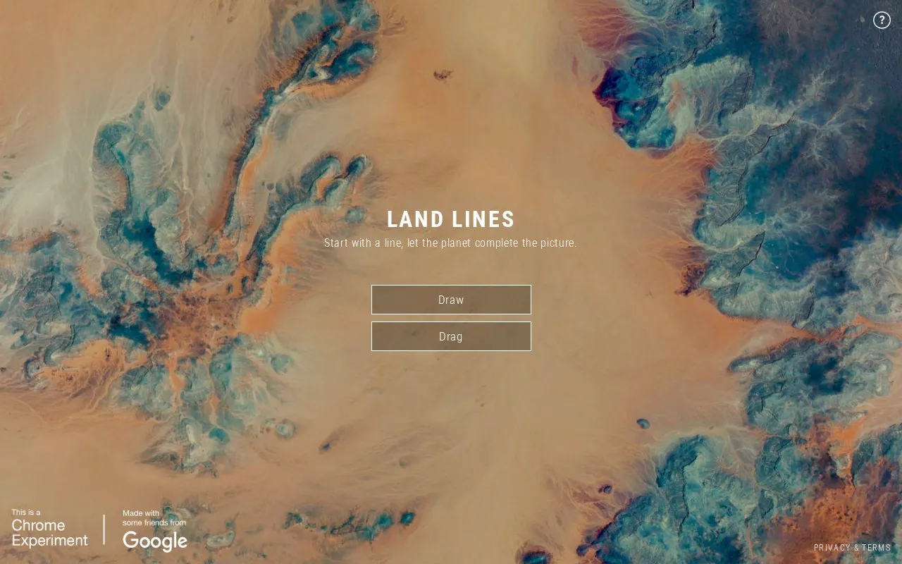
Land Lines is an experiment from Chrome Experiments that lets users explore Google Earth satellite imagery through drawing gestures. In Draw mode, a user draws a line and the site finds satellite images that match it. In Drag mode, the site builds an continuous line of connected rivers, highways, and coastlines.
The experiment combines machine learning, optimized algorithms, and graphics card power to run in a phone or desktop web browser without backend servers. To prepare the image set, the team used OpenCV Structured Forests and ImageJ Ridge Detection to find dominant lines in more than 50,000 images, narrowing them to a few thousand. The source states that all images are hosted on Google Cloud Storage. The homepage also shows a message if the browser does not support canvas.
Tools and sites you could use instead, ranked by how closely they match.
On Google Arts & Culture, Paint with Music lets people create music with brushstrokes.
Google Arts & Culture features Viola the Bird, a machine-learning experiment that lets visitors play a cello-inspired instrument.
A web page listing filenames that pair anime character names with programming and computer science book titles.
The Middle-earth Map plots events from The Lord of the Rings, The Hobbit and The Silmarillion with paths and a satellite view.
Hypertranslate turns text into a translation telephone game using Google Translate.
Well-known listings from the same topic.
Tell us and an editor will check it.
Claim the listing and suggest updates yourself. An editor checks every claim first.


