

Lincolnshire Open Data lets visitors find, share, and use county data, with datasets, topics, organizations, and visualizations.
Dataset
The UK National River Flow Archive provides official river flow records collected from more than 1,600 gauging stations.
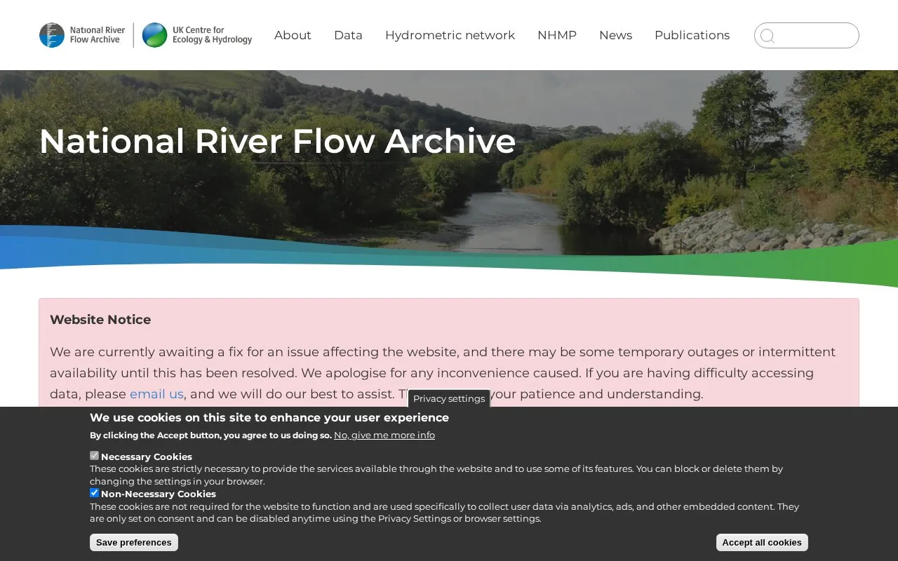
The National River Flow Archive, based at the UK Centre for Ecology & Hydrology, collates, curates and provides access to river flow data from over 1,600 gauging stations across the UK. Sources include networks operated by the Environment Agency in England, Natural Resources Wales, the Scottish Environment Protection Agency, and the Department for Infrastructure - Rivers in Northern Ireland.
Records are used to assess water availability and climate change impacts over time. Some records date to the nineteenth century and many to the 1960s, supporting analysis of long-term trends and past flood and drought events. Users can search stations on an interactive map, download metadata and the Peak Flow Dataset for WINFAP, and view current conditions through the UK Water Resources Portal.
Other listings in Open Data in United Kingdom with the most in common.
Lincolnshire Open Data lets visitors find, share, and use county data, with datasets, topics, organizations, and visualizations.
The Oxford COVID-19 Government Response Tracker collected policy measures from 2020–2022 to compare government responses around the world.
The Environmental Information Data Centre is the UK's national data centre for terrestrial and freshwater sciences, providing a data catalogue to find and access data and services.
The UK National Data Library is the home of UK public data, with government datasets and related information.
Trafford’s open data notes explain dataset terms, why information may be withheld, and where to find details such as procurement records.
The UK Office for National Statistics Open Geography Portal provides access to geography data.
Well-known listings from the same topic.
Tell us and an editor will check it.
Claim the listing and suggest updates yourself. An editor checks every claim first.


