
China’s National Earth Observation Data Center provides a data sharing network with satellite imagery, geophysical products, and remote-sensing samples.
Dataset
The NSF National Geophysical Facility provides geophysical research data on GNSS, radar, lidar, strain, seismic activity, and related services.
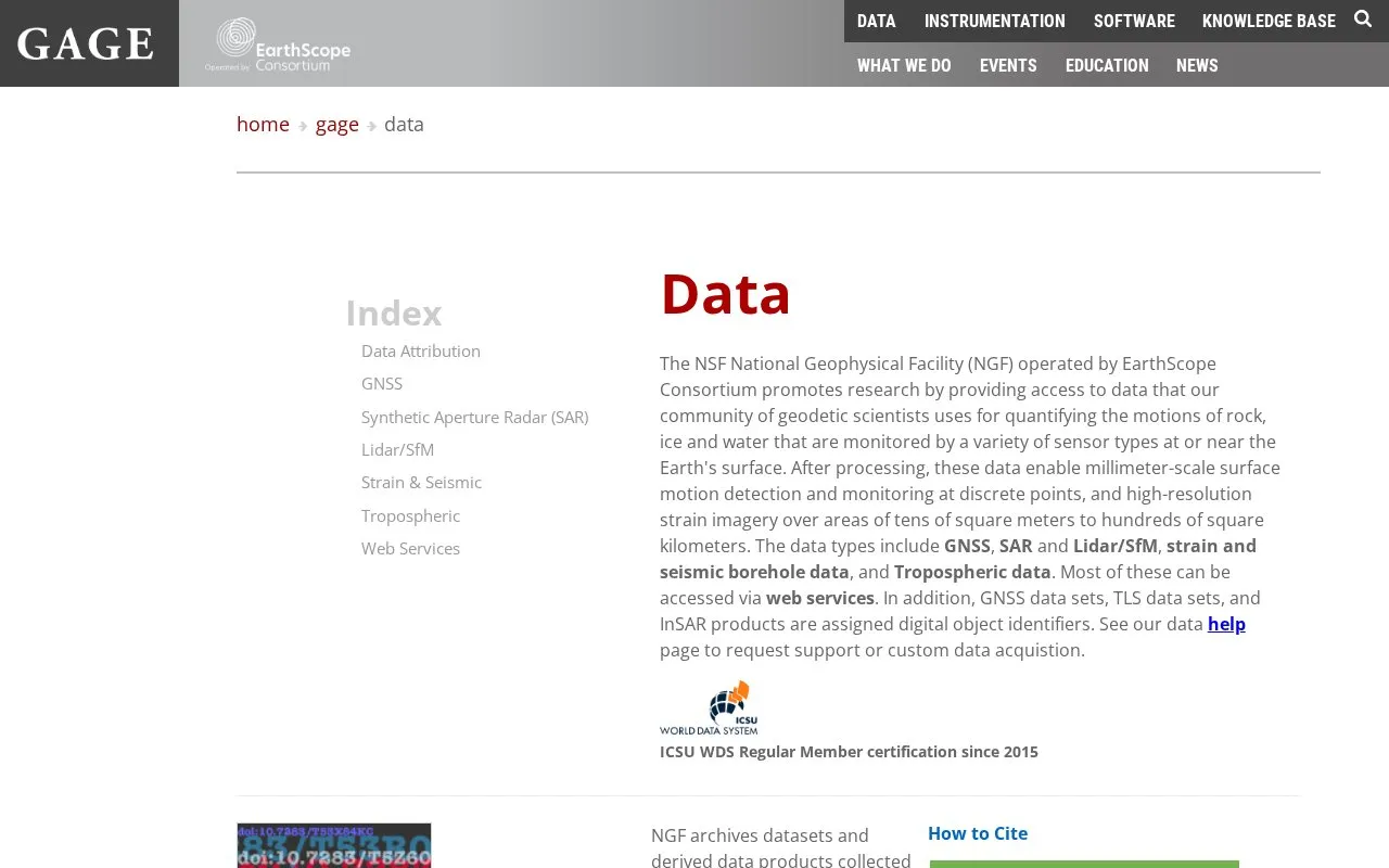
The NSF GAGE Facility, also called the NSF National Geophysical Facility (NGF), is operated by the EarthScope Consortium. It provides access to geodetic data that researchers use to measure motion of rock, ice, and water at or near the Earth's surface. Data types include GNSS, synthetic aperture radar (SAR), lidar and structure-from-motion (SfM), borehole strain, seismic, tilt and pore pressure, and tropospheric data. The source describes processed results that can show millimeter-scale surface motion at discrete points and high-resolution strain imagery over areas from tens of square meters to hundreds of square kilometers.
Most data types can be accessed through web services. Archived datasets are available under the EarthScope Data License (CC BY 4.0), and data users are responsible for attribution. Requests for support or custom data acquisition are handled through a data help page.
Other listings in Open Data & Datasets with the most in common.
China’s National Earth Observation Data Center provides a data sharing network with satellite imagery, geophysical products, and remote-sensing samples.
New Zealand's National Vegetation Survey Databank supports vegetation data search, contribution, and access to related tools and services.
The Materials Data Facility helps researchers publish, discover, and access materials science datasets, including simulation and machine-learning collections.
Yale’s ISPS Data Archive provides replication packages for research, including data, analysis code, documentation, and related materials.
TÁRKI is Hungary's national social science data archive, with survey research datasets collected since 1985.
Indonesia's National Scientific Repository lets researchers search, deposit, preserve, cite, and share research data.
Well-known listings from the same topic.
Tell us and an editor will check it.
Claim the listing and suggest updates yourself. An editor checks every claim first.


