Idaho's GIS Hub helps users find state agency datasets, maps, applications, and tools from the Idaho Spatial Data Infrastructure.
Dataset
The Smithsonian Tropical Research Institute datasets page lists research datasets from locations including Barro Colorado Island and Cocoli.
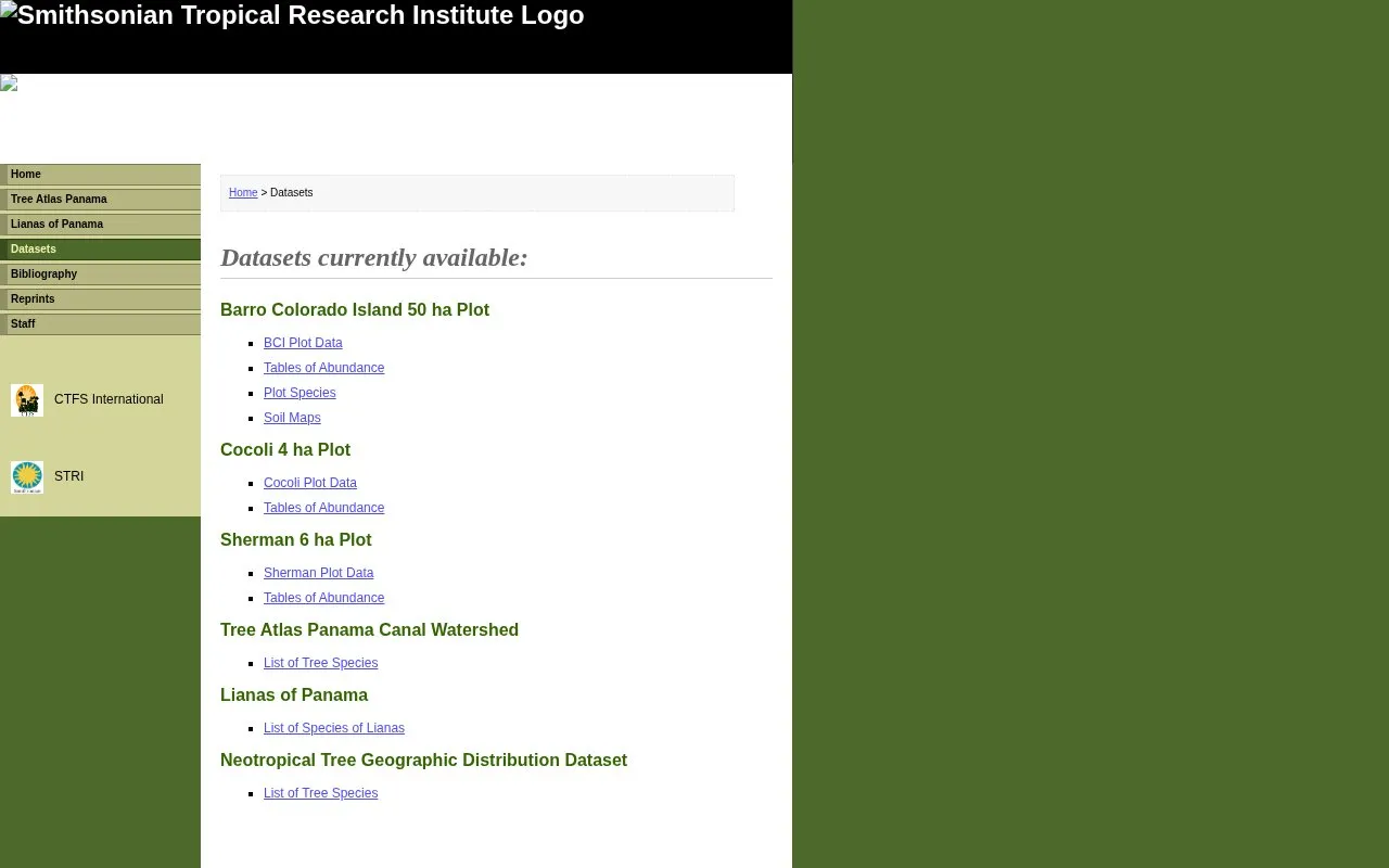
This page from the Smithsonian Tropical Research Institute lists research datasets related to forests in Panama. Available datasets include the Barro Colorado Island 50 ha plot, Cocoli 4 ha plot, Sherman 6 ha plot, Tree Atlas of the Panama Canal Watershed, Lianas of Panama, and a Neotropical tree geographic distribution dataset.
Listed materials include plot data, tables of abundance, plot species, soil maps for Barro Colorado Island, and lists of tree and liana species.
Other listings in Geographic & Mapping Data with the most in common.
Idaho's GIS Hub helps users find state agency datasets, maps, applications, and tools from the Idaho Spatial Data Infrastructure.
Find religion datasets and information through the Association of Religion Data Archives, including tools for demographic reports.
Peterborough’s GIS portal provides datasets, printed maps, web mapping applications and GIS applications.
Westbank First Nation's portal provides geospatial and infrastructure datasets on roads, utilities, buildings, parcels, and land use.
KyGovMaps lets users explore, access, and download Kentucky GIS data, combine datasets on maps, and discover mapping applications.
MindBigData shares EEG datasets, including brain-digit collections with download links and related research papers.
Well-known listings from the same topic.
Tell us and an editor will check it.
Claim the listing and suggest updates yourself. An editor checks every claim first.




