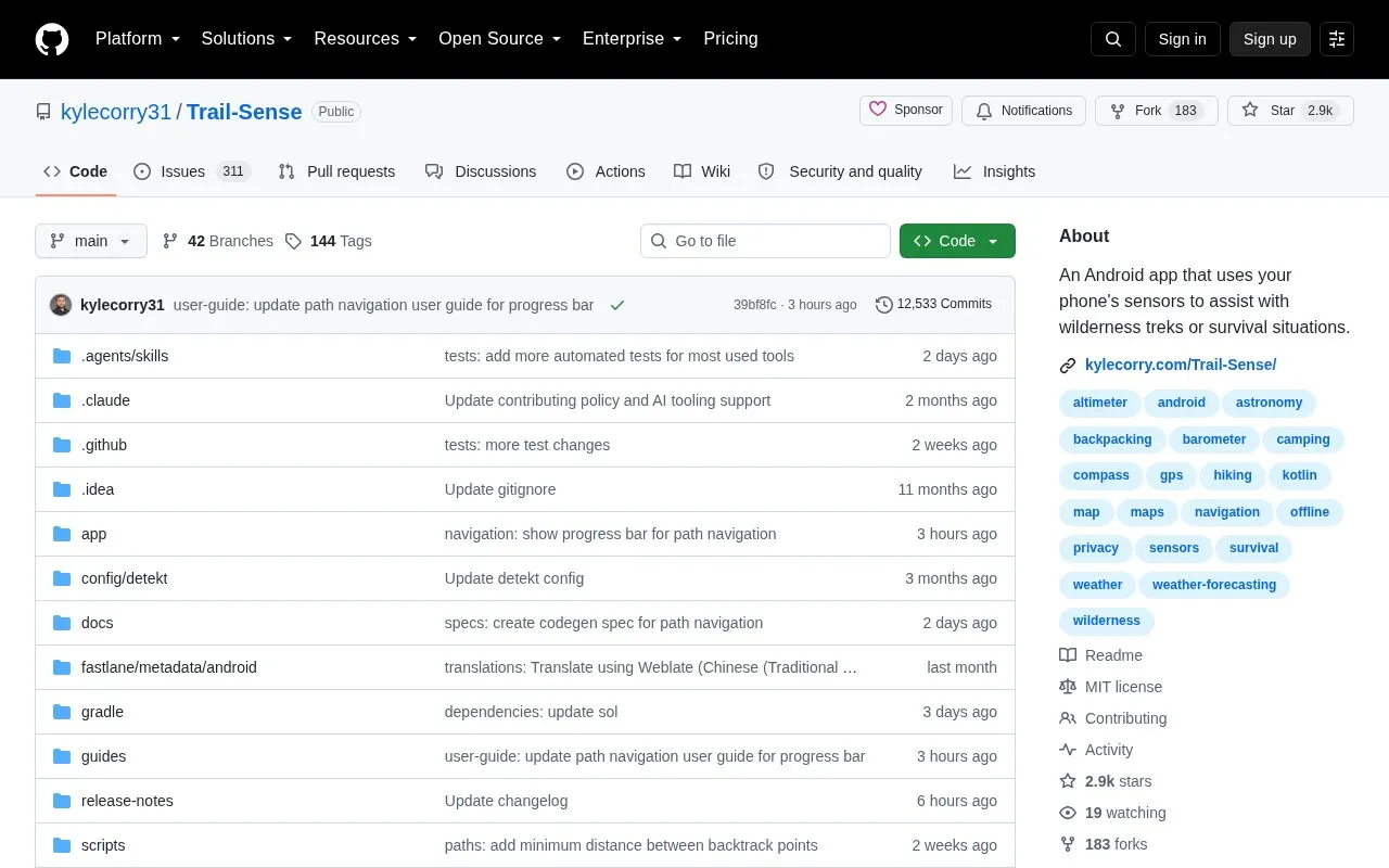
Trail Sense is an Android app that uses phone sensors to assist with wilderness treks or survival situations. It is designed for entirely offline use and does not use the Internet. It includes tools for beacons, paths, backtrack, weather prediction, sunset alerts, and other outdoor tasks.
Location, recent altitude and pressure history, beacons, and paths are stored locally on the device. The project notes users should carry backup equipment and skills when in the wilderness.
Key features
Place beacons and navigate to them
Follow paths and retrace steps with backtrack
Use a photo as a map
Plan what to pack
Get alerts before sunset
Predict weather from local sensor history
Best for: Hikers, backpackers, campers, and geocachers using Android who need offline sensor-based tools.
Good for
Designed for entirely offline use without Internet access
Location, beacons, and paths are stored locally on the device
Source code is openly available
Watch out for
Available only on Android
Requires backup equipment and skills in the wilderness
Denying location access limits functions, including backtrack and weather unavailable on Android 14+
No. The project states the app does not use the Internet and is designed for entirely offline use.
Where is location data stored?
Location, altitude and pressure history, beacons, and paths are stored in local app storage and database, and are cleared when app storage is cleared or the app is deleted.
What happens if I deny location permission?
You can mock location under Settings > Sensors > GPS, but on Android 14+ backtrack and weather will be unavailable.
Is something wrong or out of date?
Tell us and an editor will check it.
Own this website?
Claim the listing and suggest updates yourself. An editor checks every claim first.