
Japan Neighborhoods provides data-driven Tokyo neighborhood guides with crime, safety, and demographic information.
UK Hydrographic Office
The UK Hydrographic Office provides hydrographic data and expertise to support ocean safety, security, and activity.
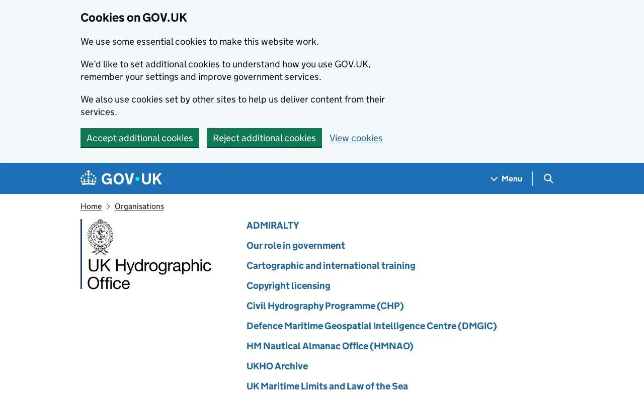
About UK Hydrographic Office
The UK Hydrographic Office (UKHO) is an executive agency sponsored by the Ministry of Defence. It provides hydrographic data and expertise to support ocean safety, security, and activity.
Its GOV.UK pages cover the Civil Hydrography Programme, Defence Maritime Geospatial Intelligence Centre, HM Nautical Almanac Office, UKHO Archive, UK Maritime Limits and Law of the Sea, and UK Centre for Seabed Mapping, plus guidance such as the ADMIRALTY Tidal Prediction Service, research and analysis, and corporate reports.
Key features
- Information on cartographic and international training
- Copyright licensing details for UKHO materials
- Civil Hydrography Programme (CHP) information
- UK Maritime Limits and Law of the Sea guidance
- UK Centre for Seabed Mapping (UK CSM) information
- ADMIRALTY Tidal Prediction Service guidance
Best for: Organisations and individuals seeking UK government hydrographic data, maritime guidance, and related reports.
Good for
- Executive agency sponsored by the Ministry of Defence
- Publishes guidance, research and analysis, and corporate reports
- Covers specialised areas including seabed mapping and maritime limits
UK Hydrographic Office at a glance
- Category
- Research & Data › Geographic & Mapping Data
- Type
- Website
- Pricing
- Not confirmed. Check the site
- Platforms
- Web
- Open source
- Not stated
- Language
- English
- Last checked
- Oct 5, 2026 · Online when checked
- Listed
- Oct 5, 2026
UK Hydrographic Office alternatives
Tools and sites you could use instead, ranked by how closely they match.
Popular in Geographic & Mapping Data
Well-known listings from the same topic.
EUDR Toolseudrtools.comNew Mexico RGISrgis.unm.eduIUBio-Archiveiubioarchive.bio.netCottonGencottongen.orgBacMapbacmap.wishartlab.comEBRAINSebrains.eu



UK Hydrographic Office FAQ
What is the UK Hydrographic Office?
An executive agency sponsored by the Ministry of Defence that delivers data and expertise to support safe, secure and thriving oceans.
Where is the UKHO contact address?
UK Hydrographic Office, Admiralty Way, Taunton, Somerset.
Is something wrong or out of date?
Tell us and an editor will check it.
Own this website?
Claim this listing
Claim the listing and suggest updates yourself. An editor checks every claim first.