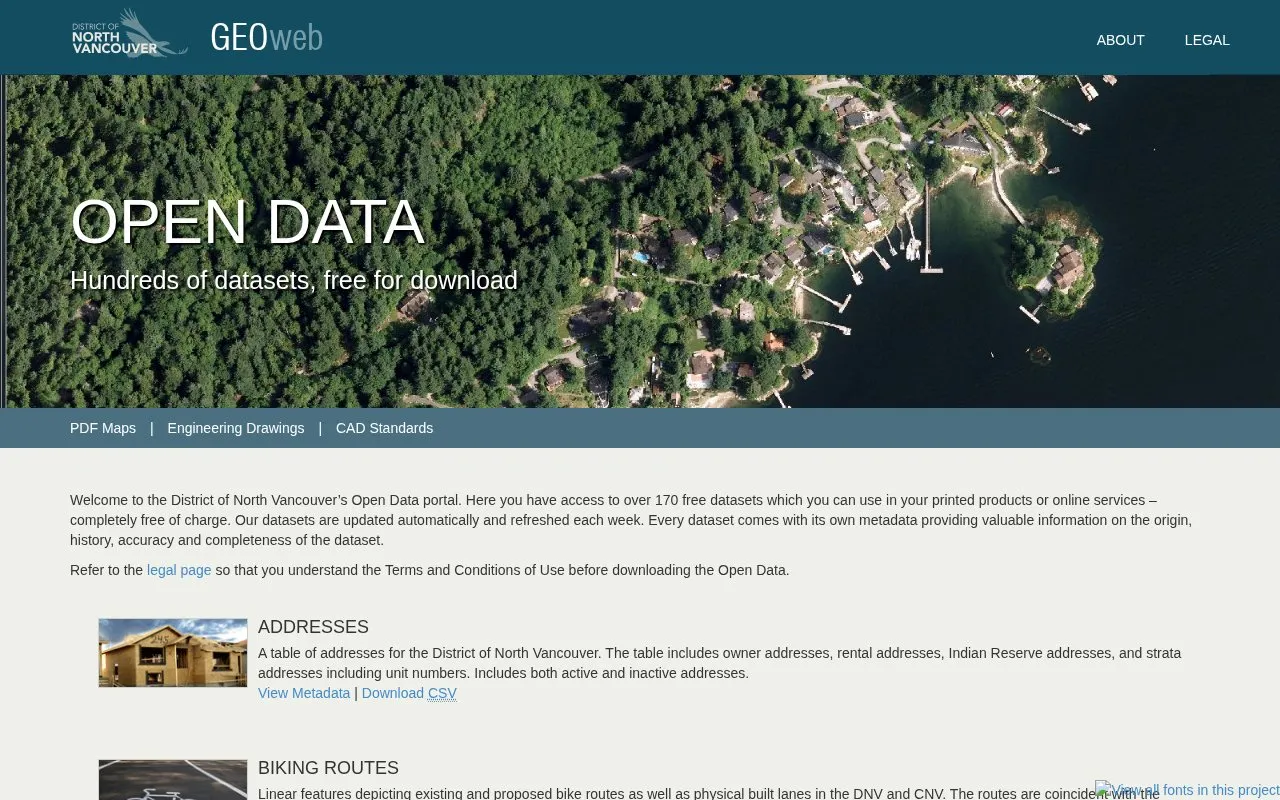
GEOweb gives the public access to North Vancouver District maps and spatial applications, including land, environmental, zoning, and building information.
About District of North Vancouver’s Open Data portal
GEOweb is the public GIS website of the District of North Vancouver, B.C. It gives the public access to maps and spatial applications covering land, environmental, zoning, and building information held in the District's geographic information system. Users can view maps, use applications to extract information about a property or community, download open datasets, and view aerial photos and engineering drawings. Source data is maintained as required, and products are refreshed each week using automated routines.
Use is governed by the Open Government Licence - North Vancouver. The licence does not cover personal information, records not accessible under the Freedom of Information and Protection of Privacy Act (B.C.), third-party rights the District is not authorized to license, official marks, or other intellectual property rights. Users must acknowledge the source of the information.
Key features
View hundreds of maps covering property, neighbourhood, and community information
Download over 170 free datasets in many formats under an Open Data licence
Use applications to extract information on a property and community
Access aerial photos dating back to 1992
View over 25,000 engineering drawings and legal plans
Best for: Residents, property owners, and researchers who need District of North Vancouver maps, property-related information, or open geographic datasets.
Good for
Downloadable datasets are free and licensed for use, including commercial purposes, subject to the licence terms
Includes aerial photos dating back to 1992 and a large collection of engineering drawings and legal plans
Data is maintained by the District's GIS Department and products are refreshed weekly
Watch out for
The licence does not grant rights to use personal information
The licence does not cover records not accessible under B.C.'s Freedom of Information and Protection of Privacy Act, third-party rights, or official marks
Users must acknowledge the source of the information and follow the licence conditions, or their rights under the licence end
District of North Vancouver’s Open Data portal at a glance
District of North Vancouver’s Open Data portal FAQ
Can I use downloaded data for commercial purposes?
The licence grants a worldwide, royalty-free, perpetual, non-exclusive licence to use the information, including for commercial purposes, subject to the licence terms.
What attribution is required when using the data?
You must acknowledge the source, using any attribution statement the information provider specifies. If none is specified, or if multiple attributions are impractical, use: "Contains information licensed under the Open Government Licence - North Vancouver."
Does the licence cover personal information?
No. The licence does not grant any right to use personal information.
Is something wrong or out of date?
Tell us and an editor will check it.
Own this website?
Claim the listing and suggest updates yourself. An editor checks every claim first.