

GEOweb gives the public access to North Vancouver District maps and spatial applications, including land, environmental, zoning, and building information.
Dataset
Vantor’s Open Data Program provides free satellite imagery and spatial intelligence to support disaster response and recovery.
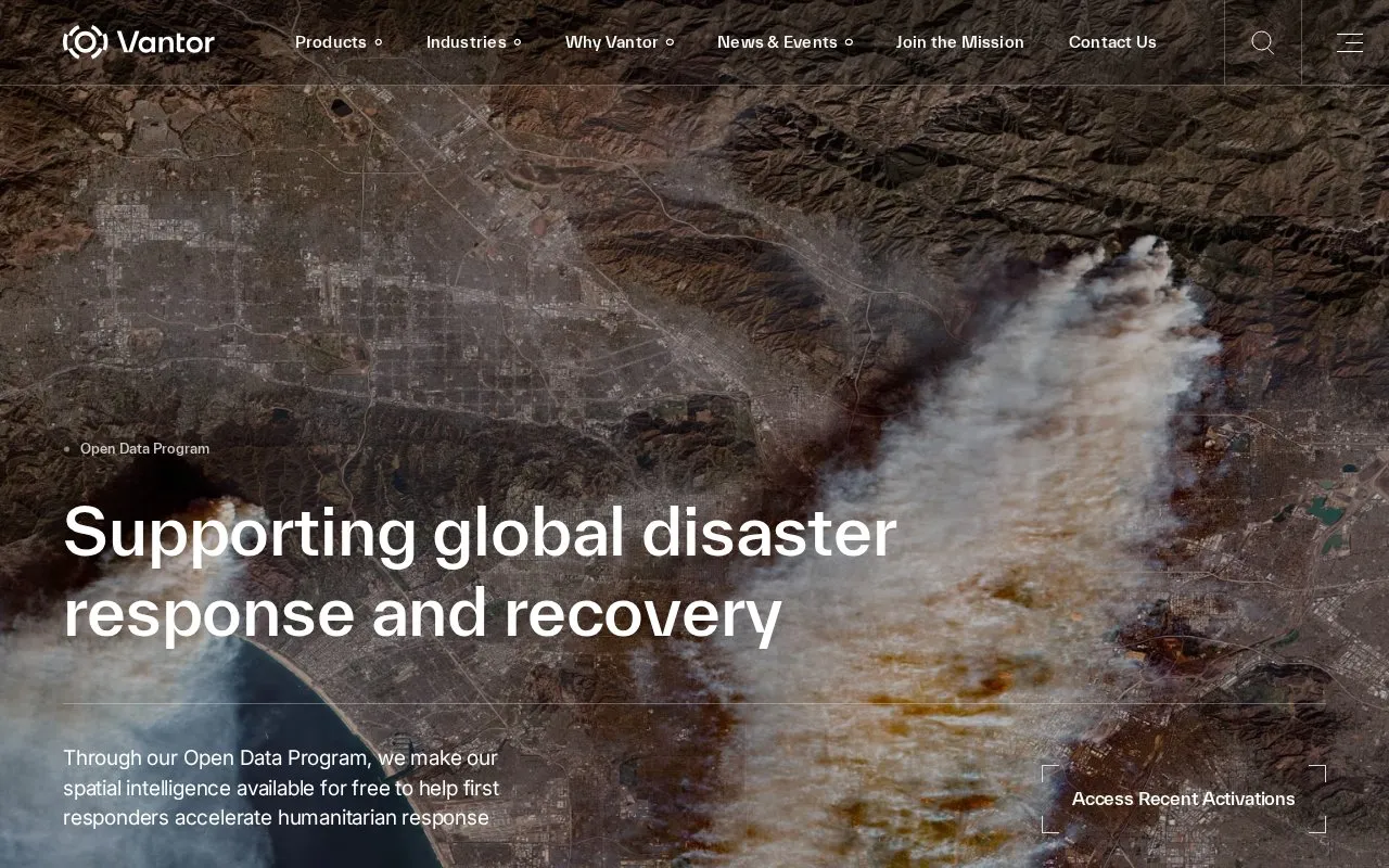
Vantor’s Open Data Program provides free satellite imagery and spatial intelligence to support disaster response and recovery.
Vantor Open Data Program is a data source in our Geographic & Mapping Data collection, with data related to open data and satellite imagery. Before using the data in a project, check the provider’s own documentation for its licence, update schedule and how to cite it.
If you’re exploring Geographic & Mapping Data, you may also want to look at District of North Vancouver’s Open Data portal, Open Context, and DNR Maps & Data.
Other listings in Geographic & Mapping Data with the most in common.
GEOweb gives the public access to North Vancouver District maps and spatial applications, including land, environmental, zoning, and building information.
Open Context publishes archaeological research data, including field notes, images, maps, models, and records with stable identifiers.
The Michigan Department of Natural Resources page identifies its maps and open data resources.
Open Data Hartford lets visitors discover, analyze, and download data in formats including CSV, KML, GeoJSON, GeoTIFF, and PNG.
Hi Knowledge creates interactive visualizations using linked open data to explore invasion biology and related fields.
OpenAQ provides access to air quality data from monitors and shows pollutant measurements with reporting times and data sources.
Well-known listings from the same topic.
Tell us and an editor will check it.
Claim the listing and suggest updates yourself. An editor checks every claim first.





