
Open Data Hartford lets visitors discover, analyze, and download data in formats including CSV, KML, GeoJSON, GeoTIFF, and PNG.
Dataset
OpenAQ provides access to air quality data from monitors and shows pollutant measurements with reporting times and data sources.
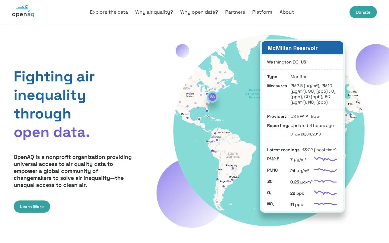
OpenAQ is a nonprofit that aggregates air quality data from hundreds of sources worldwide into a centralized platform. It shows ground-monitor measurements for PM2.5, PM10, O3, NO2, SO2, CO and black carbon, with provider names, reporting times and latest readings.
The platform includes an interactive map for exploring local data, an open API for connecting applications including use with R, and an Air Quality Index Hub that describes methodologies used by different countries. Its data is used for air pollution research, community information and comparison with satellite observations.
Other listings in Geographic & Mapping Data with the most in common.
Open Data Hartford lets visitors discover, analyze, and download data in formats including CSV, KML, GeoJSON, GeoTIFF, and PNG.
Conservation Ontario's Open Data Hub offers downloadable GIS data, API links, charts, thematic maps, StoryMaps, and web maps.
The North Okanagan GIS Open Data site supports data discovery, analysis, downloads, and map-based tools through ArcGIS Hub.
Ottawa Riverkeeper’s ArcGIS Hub supports discovery, analysis, and downloads for its open data.
Open Context publishes archaeological research data, including field notes, images, maps, models, and records with stable identifiers.
The Michigan Department of Natural Resources page identifies its maps and open data resources.
Well-known listings from the same topic.
Tell us and an editor will check it.
Claim the listing and suggest updates yourself. An editor checks every claim first.




