Washington State’s geospatial open data portal provides access to geographic datasets.
Dataset
As a community initiative, OpenDataKerala lists projects such as a local government open geo portal for Kerala.
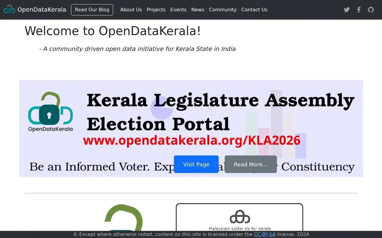
OpenDataKerala is a community-driven open data initiative for Kerala State in India, spearheaded by the Sahya Digital Conservation Foundation with collaborators including OpenStreetMap Kerala, Wikimedians of Kerala User Group and other Kerala groups. It lists projects such as the LSGD Open Geo Portal of Kerala State, Map Kerala, LSG Elections 2025, and an OGD Portal mapping initiative with IIT Palakkad Social Outreach and Unnat Bharat Abhiyan.
The site also publishes event listings with dates and venues, links to news coverage about Kerala local-body mapping, and contact options for suggestions or contributions.
Other listings in Geographic & Mapping Data with the most in common.
Washington State’s geospatial open data portal provides access to geographic datasets.
Peterborough’s GIS portal provides datasets, printed maps, web mapping applications and GIS applications.
Westbank First Nation's portal provides geospatial and infrastructure datasets on roads, utilities, buildings, parcels, and land use.
The Loyalist Migrations Project maps migrations of people who left the United States during and after the American Revolution.
Open Context publishes archaeological research data, including field notes, images, maps, models, and records with stable identifiers.
The Michigan Department of Natural Resources page identifies its maps and open data resources.
Well-known listings from the same topic.
Tell us and an editor will check it.
Claim the listing and suggest updates yourself. An editor checks every claim first.




