

WebODM is open-source drone mapping software that processes imagery into mapping outputs.
OpenDroneMap
OpenDroneMap processes drone imagery to generate maps, point clouds, and 3D models.
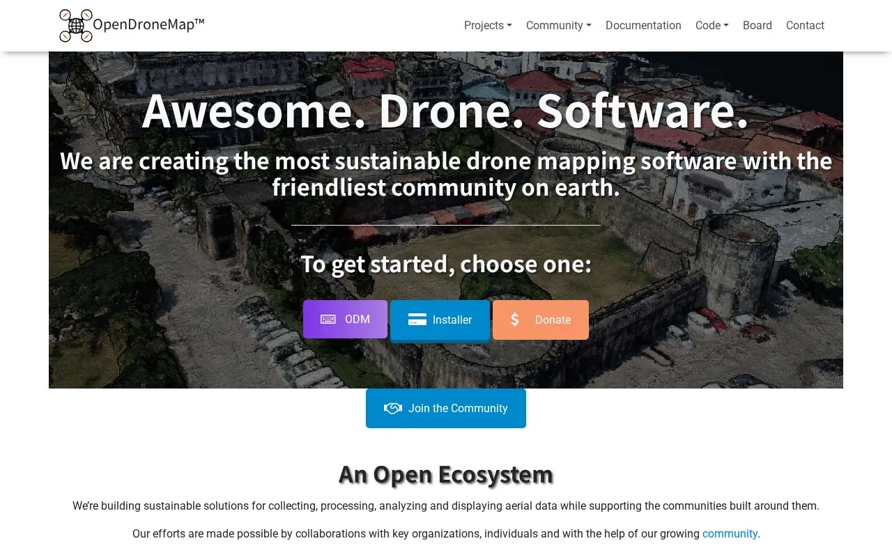
About OpenDroneMap
OpenDroneMap is a set of drone mapping software tools that process images captured by drones, balloons or kites. According to the homepage, the software generates maps, point clouds, 3D models and digital elevation models (DEMs) from images in any orientation and from any camera. The homepage describes the tools as open source and presents the project as a collection of related components rather than a single application.
The project offers several components for different workflows. ODM is a command line toolkit for processing aerial images, NodeODM provides a REST API and a minimal web interface, and PyODM is a Python SDK for adding image processing to applications. CloudODM processes aerial imagery in the cloud. The homepage does not describe how uploaded imagery is stored or handled by cloud processing, so users should review the relevant service terms before processing sensitive data. Pricing is not stated on the homepage.
Key features
- Generates maps, point clouds, 3D models and DEMs from drone images
- Command line toolkit (ODM) for processing aerial images
- REST API (NodeODM) for accessing processing, with a minimal web interface
- Python SDK (PyODM) for adding image processing to applications
- Cloud processing of aerial imagery through a command line tool (CloudODM)
- ClusterODM reverse proxy and load balancer for horizontal scaling
Best for: Developers, researchers and technical users who process drone imagery and want command line, API or Python access to mapping tools.
Good for
- The homepage describes the tools as open source drone image processing software.
- The homepage states that ODM has been a de-facto standard for open source drone image processing since 2014.
- Components are available for several workflows, including command line, API, Python and R use.
Watch out for
- The homepage does not state pricing.
- Several components, such as PyODM and FIELDimageR, are designed for use in code, which implies programming skills.
OpenDroneMap at a glance
- Website
- opendronemap.org
- Type
- Website
- Pricing
- Not confirmed. Check the site
- Platforms
- Web
- Open source
- Not stated
- Language
- English
- Last checked
- Oct 6, 2026 · Online when checked
- Listed
- Oct 5, 2026
OpenDroneMap alternatives
Tools and sites you could use instead, ranked by how closely they match.
The OpenRocket wiki provides collaboratively written documentation for the open-source model rocket simulator.

This Unsloth guide introduces the basics and best practices of fine-tuning language models.

The Hugging Face Diffusion Models Course provides course materials for studying diffusion theory and image generation.
Open source
24 alternatives
ChemOCR uses a lightweight model to recognize chemical structures from images and convert them into other formats.

RocketPy provides software and information for rocket flight simulation.
Popular in Science, Math & Technology
Well-known listings from the same topic.
MathNetmathnet.mit.eduOneZoomonezoom.orgThrustCurvethrustcurve.orgWikispeciesspecies.wikimedia.orgTheAlgorithmsthe-algorithms.comHot Nozzle Societyhotnozzlesociety.org


OpenDroneMap FAQ
What outputs does OpenDroneMap produce?
According to the homepage, it generates maps, point clouds, 3D models and DEMs from drone, balloon or kite images.
Is pricing listed on the homepage?
No. The homepage does not state pricing.
Is something wrong or out of date?
Tell us and an editor will check it.
Own this website?
Claim this listing
Claim the listing and suggest updates yourself. An editor checks every claim first.