

GeoNetwork provides full-text and faceted search across geospatial catalogs, including maps, services, and non-geographic records.
Dataset
The Seamount Catalog archives bathymetric maps and related morphological, sample, grid, and multibeam data for seamounts.
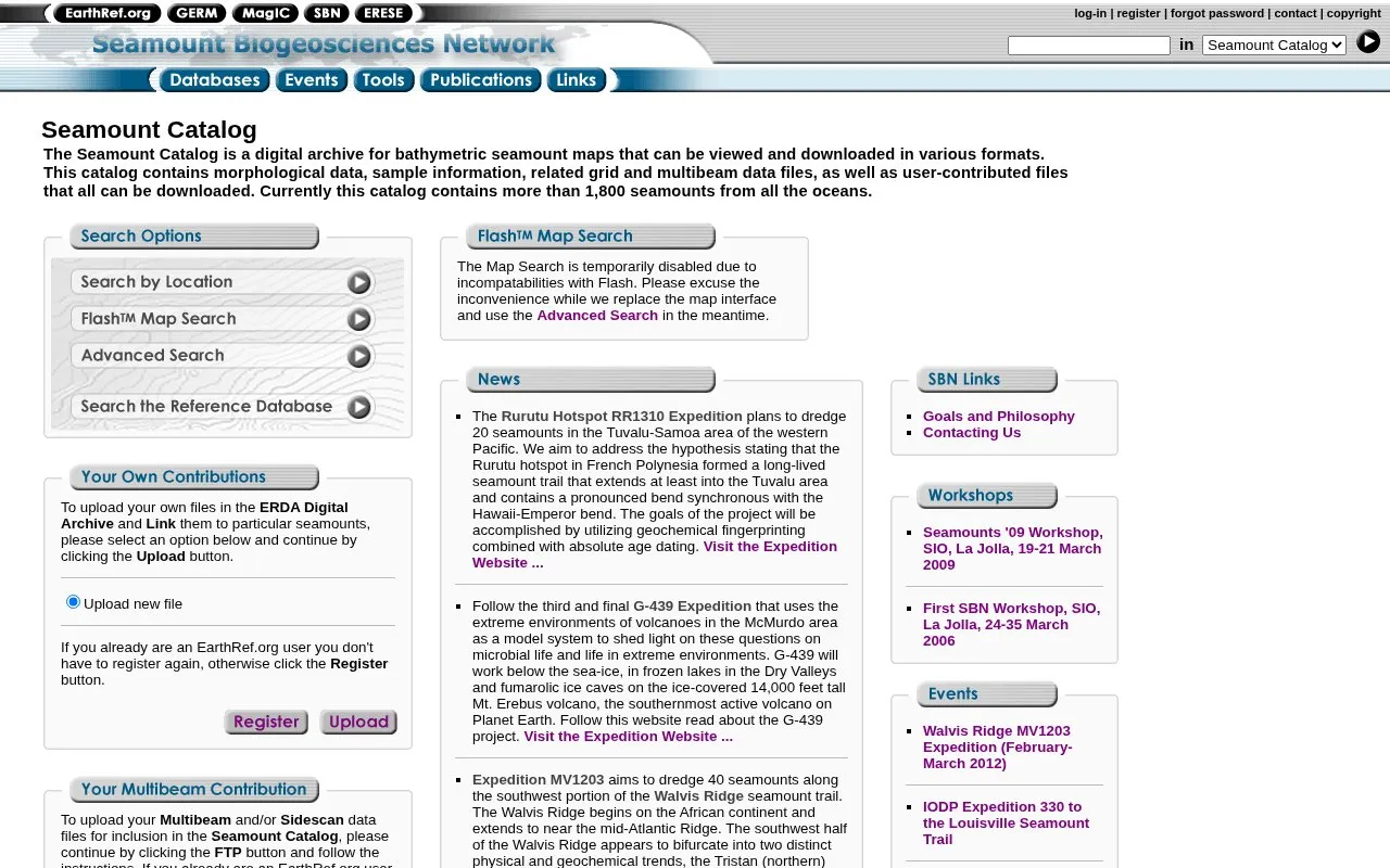
The Seamount Catalog is a digital archive for bathymetric seamount maps. You can view the maps and download them in various formats. The catalog also holds morphological data, sample information, grid and multibeam data files, and user-contributed files, which can all be downloaded. It contains more than 1,800 seamounts from all the oceans.
Pricing is not clearly stated.
Other listings in Geographic & Mapping Data with the most in common.
GeoNetwork provides full-text and faceted search across geospatial catalogs, including maps, services, and non-geographic records.
Surrey’s ArcGIS catalog provides datasets for download in CSV, KML, GeoJSON and other formats, with maps and charts.
Find religion datasets and information through the Association of Religion Data Archives, including tools for demographic reports.
NASA’s Alaska Satellite Facility archives synthetic aperture radar data and provides services for researchers using those datasets.
Hi Knowledge creates interactive visualizations using linked open data to explore invasion biology and related fields.
Open Context publishes archaeological research data, including field notes, images, maps, models, and records with stable identifiers.
Well-known listings from the same topic.
Tell us and an editor will check it.
Claim the listing and suggest updates yourself. An editor checks every claim first.





