

This map displays real-time air quality index readings across locations around the world.
CartoArt
CartoArt lets users create map posters from locations around the world.
About CartoArt
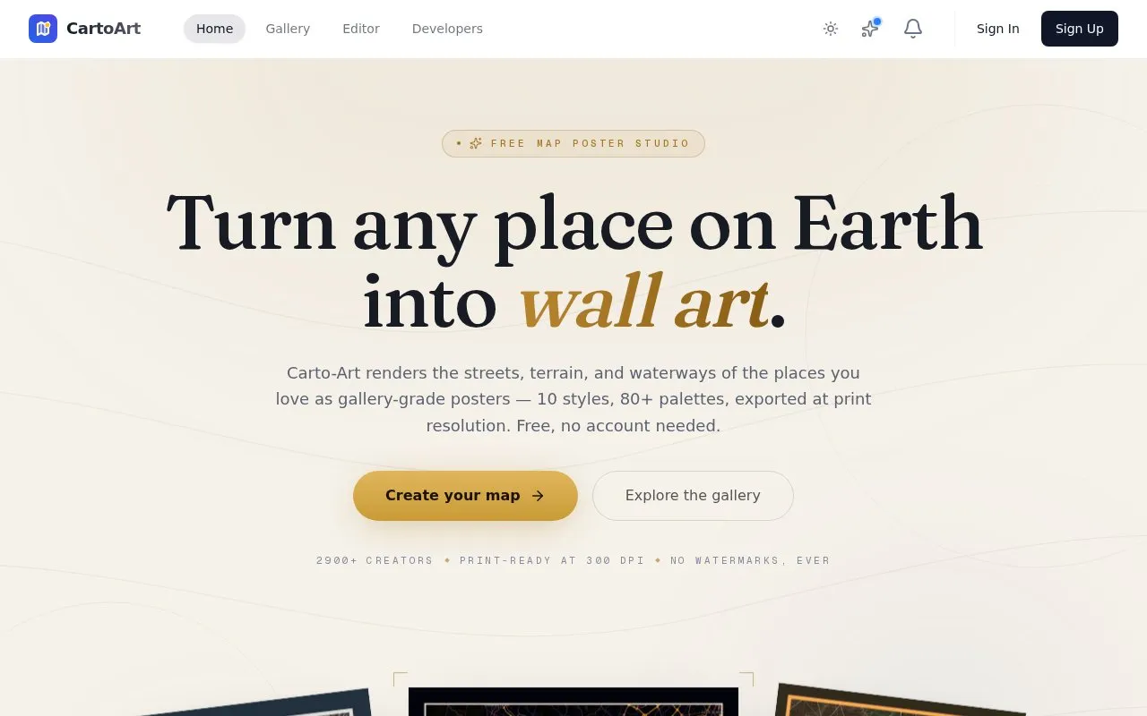
CartoArt is a web-based map poster editor. Users search for a place, such as a hometown or a mountain range, and create a poster from its streets, terrain, and waterways. The editor offers 10 named styles, more than 80 color palettes, and controls for toggling map layers and adjusting line weights. Designs can be exported at up to 24×36 inches at 300 DPI, then printed at a print shop or ordered as a shipped print.
The homepage describes the service as free, with no account needed and no watermarks on exported posters. Terrain can be shown as 3D using real elevation data, with adjustable vertical exaggeration, sun angle, and mesh quality. The maximum export size is 24×36 inches. Pricing details beyond the free description are not listed on the homepage.
Key features
- Search any place on Earth, down to street level
- 10 named map styles, such as Midnight Noir and Vintage
- More than 80 color palettes for fine-tuning a design
- Toggle streets, water, terrain, buildings, parks, and railroads independently
- 3D terrain from real elevation data with adjustable exaggeration and sun angle
- Export up to 24×36 inches at 300 DPI, with an option to order a shipped print
Best for: People who want a wall poster of a meaningful place, such as a hometown, a trip destination, or a gift, and plan to print it.
Good for
- Exported posters are stated to have no watermarks
- The homepage states that no account is needed to create a poster
- Real elevation data can be rendered as 3D terrain
Watch out for
- Maximum export size is 24×36 inches
- Pricing details are not listed on the homepage
CartoArt at a glance
- Website
- carto-art.vercel.app
- Category
- Travel & Maps › Maps, Navigation & Weather
- Type
- Website
- Pricing
- Not confirmed. Check the site
- Platforms
- Web
- Open source
- Not stated
- Language
- English
- Last checked
- Oct 6, 2026 · Online when checked
- Listed
- Oct 5, 2026
CartoArt alternatives
Tools and sites you could use instead, ranked by how closely they match.

Weather Underground's WunderMap displays interactive weather conditions and radar for locations around the world.

Terraink creates custom map posters and wallpapers for locations, with print-ready PNG, PDF, or SVG exports.

ACLED publishes conflict data on political violence and protests around the world.

Skimap.org archives more than 29,000 ski resort trail maps from around the world, including historical maps.

This uMap collection presents a map of military bases around the world using OpenStreetMap layers.
Popular in Maps, Navigation & Weather
Well-known listings from the same topic.
OpenWeatherMapopenweathermap.org511on.ca511on.caFIRMSfirms.modaps.eosdis.nasa.gov/mapWeather History & Data Archivewunderground.com/historyORBISorbis.stanford.eduEarth Engine Datasetdevelopers.google.com/earth-engine/datasets


CartoArt FAQ
Do I need an account to create a poster?
The homepage states that no account is needed.
What print sizes can I export?
Designs can be exported at up to 24×36 inches at 300 DPI.
Are the posters watermarked?
The homepage states that exported posters have no watermarks.
Is something wrong or out of date?
Tell us and an editor will check it.
Own this website?
Claim this listing
Claim the listing and suggest updates yourself. An editor checks every claim first.