
GPS Visualizer creates customized maps from GPS data and offers several output formats.
ORBIS
ORBIS models the ancient Roman world geospatially, with materials for understanding and exploring its network.
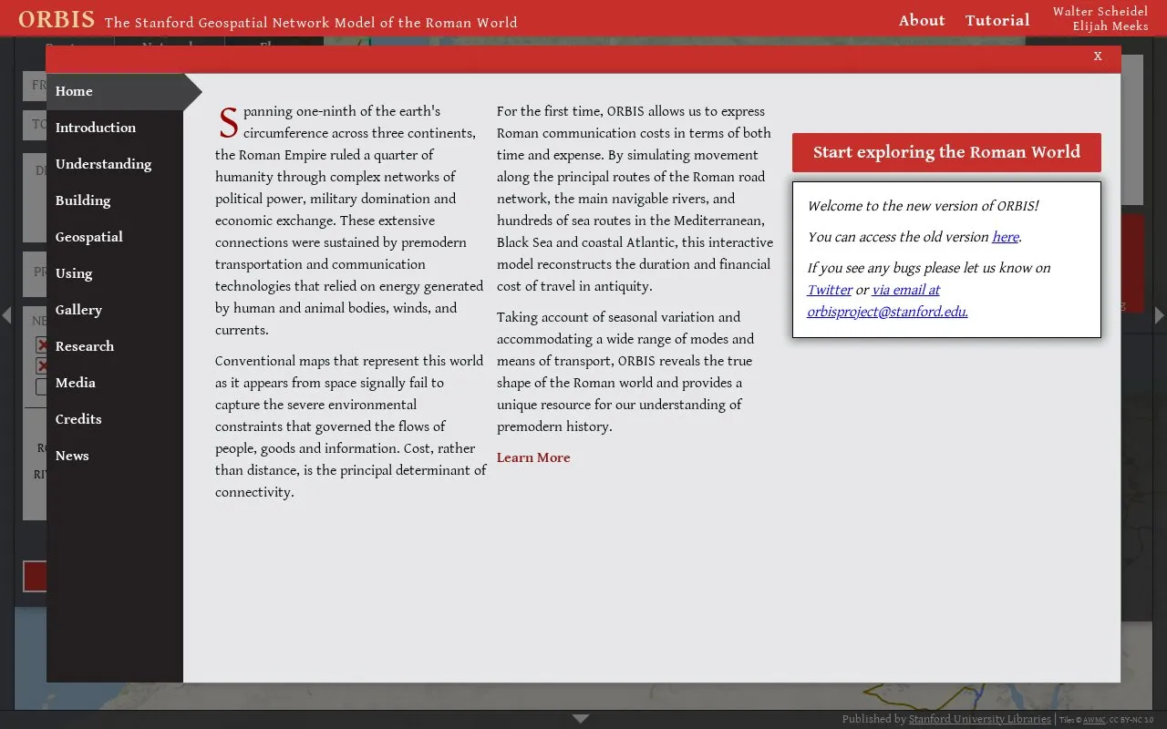
About ORBIS
ORBIS is the Stanford Geospatial Network Model of the Roman World, published by Stanford University Libraries. It models the ancient Roman world geospatially to help users understand and explore its travel and communication network.
You can select start and end sites, travel direction, and departure month or season. You can set priority to fastest, cheapest, or shortest, and choose road, river, and sea modes with civilian or military options. The map can show terrain, sites, names, paths, and regions, and results can be viewed in grid, list, or table views.
It suits students, teachers, and researchers interested in Roman history, geography, and travel, as well as general users exploring ancient routes. Tutorial and background sections explain how the model was built and how to use it.
Key features
- Calculate routes between ancient sites with month and priority
- Choose fastest, cheapest, or shortest route priority
- Toggle road, river, and sea travel modes
- Display terrain, sites, names, paths, and regions
- Export map view as SVG file
- View route results in grid, list, or table
Best for: Students, teachers, and researchers studying Roman geography, travel, and history benefit most.
Good for
- Models Roman travel by road, river, and sea
- Includes tutorial and explanatory sections
- Supports SVG export of map views
Watch out for
- Works best in Chrome or Safari
ORBIS at a glance
- Website
- orbis.stanford.edu
- Category
- Travel & Maps › Maps, Navigation & Weather
- Type
- Website
- Pricing
- Not confirmed. Check the site
- Platforms
- Web
- Open source
- Not stated
- Last checked
- Oct 5, 2026 · Online when checked
- Listed
- Oct 5, 2026
ORBIS alternatives
Tools and sites you could use instead, ranked by how closely they match.

Terraink creates custom map posters and wallpapers for locations, with print-ready PNG, PDF, or SVG exports.
Amtrak Explorer provides an interactive map for exploring the Amtrak network.

OpenStreetMap provides an editable community map of the world with tools for exploring places.
Popular in Maps, Navigation & Weather
Well-known listings from the same topic.
OpenWeatherMapopenweathermap.org511on.ca511on.caFIRMSfirms.modaps.eosdis.nasa.gov/mapWeather History & Data Archivewunderground.com/historyEarth Engine Datasetdevelopers.google.com/earth-engine/datasetsAP Transitaptransit.co


ORBIS FAQ
What is ORBIS?
ORBIS is the Stanford Geospatial Network Model of the Roman World, published by Stanford University Libraries. It models travel and communication across the ancient Roman world.
How do I calculate a route in ORBIS?
Select a start site and end site, choose direction, departure month, and priority, then use Calculate Route. Results can be viewed in grid, list, or table view.
What travel modes and priorities does ORBIS support?
It supports road, river, and sea modes with fastest, cheapest, and shortest priorities. It also includes civilian and military settings and vehicle options such as donkey, wagon, and carriage.
Which browsers work with ORBIS?
ORBIS is designed for modern browsers and works best in Chrome or Safari. An older version is available for unsupported browsers.
Is something wrong or out of date?
Tell us and an editor will check it.
Own this website?
Claim this listing
Claim the listing and suggest updates yourself. An editor checks every claim first.