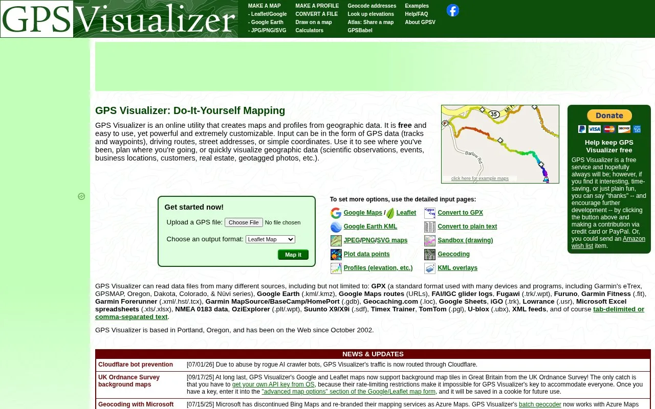
GPS Visualizer is an online utility that creates maps and profiles from geographic data. Input can be GPS tracks and waypoints, driving routes, street addresses, or plain coordinates. Output includes Google Maps and Leaflet maps, Google Earth KML, JPEG, PNG, and SVG images, and elevation or other profiles. The site also converts files between formats, such as to GPX or plain text.
Some features depend on outside services. Google Maps and Leaflet maps can use UK Ordnance Survey background tiles in Great Britain, but users must obtain their own OS API key. Geocoding works with Microsoft Azure Maps API keys, and elevation lookups use the Google Maps Elevation API and the USGS 3DEP service. The homepage also states that traffic is routed through Cloudflare for bot prevention.
Key features
Builds maps from GPS tracks, waypoints, driving routes, addresses, or coordinates
Exports maps as Google Maps/Leaflet pages, Google Earth KML, or JPEG, PNG, and SVG images
Creates elevation and other profiles from track data
Converts GPS files between formats, including GPX and plain text
Reads many device and app formats, including Garmin FIT, FAI/IGC, and Garmin TCX
Geocodes addresses in batches and looks up elevations
Best for: People who want to map or chart GPS tracks, routes, addresses, or coordinates from many device and software formats without installing software.
Good for
Accepts a wide range of input file formats from GPS devices and software
Offers several output types, including interactive web maps, KML, and image formats
Operating since October 2002 and based in Portland, Oregon, according to the site
Watch out for
UK Ordnance Survey background maps require the user to obtain a separate API key
Several features rely on external services such as Google Maps, Azure Maps, and USGS 3DEP
Traffic is routed through Cloudflare, according to the site's news notice
Yes, for Google and Leaflet maps in Great Britain. The site states that you must get your own API key from OS. After you enter the key in the advanced map options, it is saved in a cookie for future use.
What kinds of files can it read?
It reads GPX, Google Earth KML and KMZ, Google Maps route URLs, FAI/IGC glider logs, Garmin FIT, Garmin TCX and HST, Garmin BaseCamp GDB, NMEA 0183, OziExplorer, TomTom, U-blox, Excel and Google Sheets files, XML feeds, and tab-delimited or comma-separated text, among others.
Is something wrong or out of date?
Tell us and an editor will check it.
Own this website?
Claim the listing and suggest updates yourself. An editor checks every claim first.