

The Kepler.gl tool is an open-source geospatial analysis system for working with large datasets.
Open source
17 alternativesNCEI maps and geospatial tools visualize data types together and relate variables to specific locations.
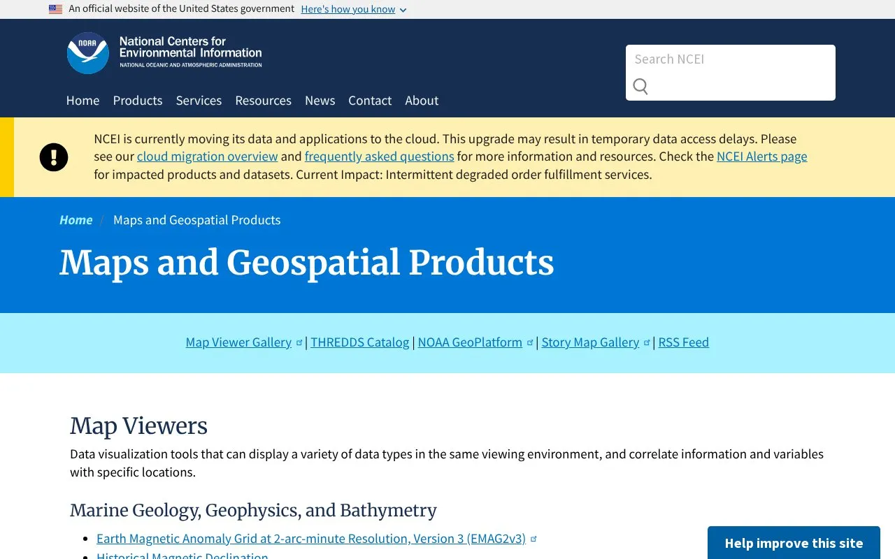
NCEI Maps and Geospatial Products provides map viewers that display different environmental data types together and relate variables to specific locations. Coverage includes marine geology and bathymetry, ecosystems and ocean data, natural hazards and severe weather, and climate, radar and snowfall data, plus StoryMaps and ArcGIS REST services with previews and downloads.
NCEI is moving its data and applications to the cloud, which may cause temporary data access delays. The current reported impact is intermittent degraded order fulfillment services.
Tools and sites you could use instead, ranked by how closely they match.
The Kepler.gl tool is an open-source geospatial analysis system for working with large datasets.
Ukraine Live Cams presents a 3D map of live camera locations in Ukraine, with controls for navigating and viewing cameras.
NASA Earthdata helps users search, discover, visualize, refine, and access NASA Earth science data.
The Google Earth Engine Data Catalog combines satellite imagery and geospatial datasets for analysis of changes and trends on Earth.
Snow Forecast offers customizable maps for snow conditions and weather variables such as rain, temperature, cloud, wind, and pressure.
Geospatial analysts can explore data with kepler.gl, a WebGL application for geospatial visualization.
Well-known listings from the same topic.
Tell us and an editor will check it.
Claim the listing and suggest updates yourself. An editor checks every claim first.


